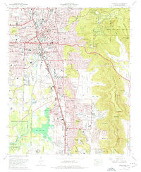
1975 Map of Huntsville
USGS Topo · Published 1976About this map
Monte Sano Mountain and Green Mountain loom over the expanding city of Huntsville during a period of significant mid-century growth. This 1975 survey documents the suburbanization of Jones Valley and the northward reach of Redstone Arsenal, which dominates the southwestern landscape near Byrd Spring Lake. The city's transition is evident in the decommissioning of the Huntsville-Madison County Airport, while the urban core remains anchored by legacy institutions like Huntsville Hospital and Huntsville High School.
Find a feature on this map
117 named features on this map. Tap any name to fly to it.
Don’t see what you’re looking for? This feature index may not catch every label — zoom into the map to look around manually.
Map Details
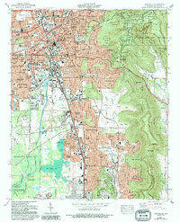
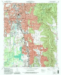
Editions of this 1975 Huntsville Map
3 editions found
Other maps of this area

1888 · Scottsboro
USGS Topo · 1:125,000

1888 · Huntsville
USGS Topo · 1:125,000

1892 · Huntsville
USGS Topo · 1:125,000

1892 · Scottsboro
USGS Topo · 1:125,000

1936 · Jeff
USGS Topo · 1:24,000

1936 · Triana
USGS Topo · 1:24,000

1936 · New Hope
USGS Topo · 1:24,000

1936 · Madison
USGS Topo · 1:24,000

1936 · Meridianville
USGS Topo · 1:24,000

1936 · Moontown
USGS Topo · 1:24,000