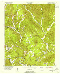
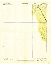
1953 Map of Huntsville
USGS Topo · Published 1955About this map
The Huntsville area of Scott County is defined by the steep topography of Privet Mountain and Hughe Mountain, where the economy and community revolve around the narrow valleys of Paint Rock Creek and the New River. This 1950s survey documents a landscape heavily influenced by extraction, with numerous Mines and Strip Mines appearing alongside established settlements like Almy and Paint Rock. Local social life is anchored by family-named landmarks and rural institutions, including Capitol Hill Sch and White Rock Ch. The complex terrain between Ditney Mtn and Buffalo Mountain shows the winding path of the Tennessee railroad line, which served the coal and timber interests of the era. Genealogists will find many family burial grounds, such as Buttram Cem and Phillips Cem, positioned near the scattered hamlets of Stanley Junction and Newtown.
Find a feature on this map
65 named features on this map. Tap any name to fly to it.
Don’t see what you’re looking for? This feature index may not catch every label — zoom into the map to look around manually.
Map Details
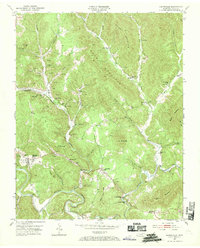
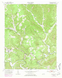
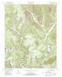
Editions of this 1953 Huntsville Map
4 editions found
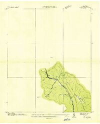
Other maps of this area

1890 · Williamsburg
USGS Topo · 1:125,000

1893 · Briceville
USGS Topo · 1:125,000

1894 · Williamsburg
USGS Topo · 1:125,000

1895 · Wartburg
USGS Topo · 1:125,000

1895 · Briceville
USGS Topo · 1:125,000

1896 · Wartburg
USGS Topo · 1:125,000

1896 · Briceville
USGS Topo · 1:125,000

1934 · Barthell
USGS Topo · 1:62,500
1936 · Block
USGS Topo · 1:24,000
1936 · Pioneer
USGS Topo · 1:24,000