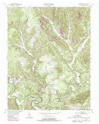
1953 Map of Huntsville
USGS Topo · Published 1987About this map
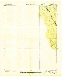
The Tennessee Railroad follows the winding path of Paint Rock Creek in this mid-century look at Scott County, carving through the ridges of Pine Mountain. The settlement of Huntsville serves as a central hub, featuring the Huntsville High Sch and a County Home near the bend of the New River. This landscape is defined by its ridge-and-hollow settlement pattern, where small communities like Newtown and Winona are anchored by local institutions such as Newtown Ch and Capitol Hill Sch. Extensive industrial activity is evident throughout the northern terrain, where numerous Strip Mine operations mark the hillsides above Stanley Creek. The map documents a rugged Cumberland Plateau economy where rural schools like Almy Sch and churches such as Five Black Gum Ch provided the social fabric for scattered mining and timber families.
Find a feature on this map
49 named features on this map. Tap any name to fly to it.
Don’t see what you’re looking for? This feature index may not catch every label — zoom into the map to look around manually.
Map Details
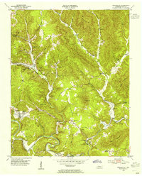
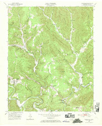
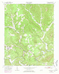
Editions of this 1953 Huntsville Map
4 editions found
Other maps of this area

1890 · Williamsburg
USGS Topo · 1:125,000

1893 · Briceville
USGS Topo · 1:125,000

1894 · Williamsburg
USGS Topo · 1:125,000

1895 · Wartburg
USGS Topo · 1:125,000

1895 · Briceville
USGS Topo · 1:125,000

1896 · Wartburg
USGS Topo · 1:125,000

1896 · Briceville
USGS Topo · 1:125,000

1934 · Barthell
USGS Topo · 1:62,500
1936 · Block
USGS Topo · 1:24,000
1936 · Pioneer
USGS Topo · 1:24,000