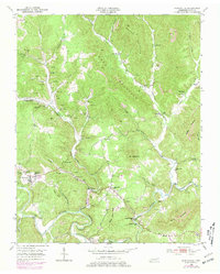
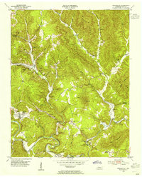
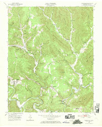
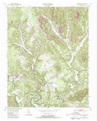
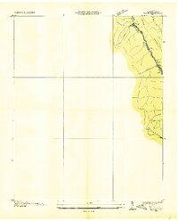
1953 Map of Huntsville
USGS Topo · Published 1979About this map
The New River carves a deep path through the plateau south of Huntsville, anchoring a landscape where small valley communities like Newtown and Winona are defined by the steep rises of Shug Mountain and Ditney Mtn. This mid-century survey reveals a society deeply integrated with its geography, where narrow hollows and ridge flats like John Hall Flats provided space for a network of rural institutions, including the Capitol Hill Sch and the County Home.
Find a feature on this map
62 named features on this map. Tap any name to fly to it.
Don’t see what you’re looking for? This feature index may not catch every label — zoom into the map to look around manually.
Map Details
Editions of this 1953 Huntsville Map
4 editions found
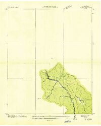
Other maps of this area

1890 · Williamsburg
USGS Topo · 1:125,000

1893 · Briceville
USGS Topo · 1:125,000

1894 · Williamsburg
USGS Topo · 1:125,000

1895 · Wartburg
USGS Topo · 1:125,000

1895 · Briceville
USGS Topo · 1:125,000

1896 · Wartburg
USGS Topo · 1:125,000

1896 · Briceville
USGS Topo · 1:125,000

1934 · Barthell
USGS Topo · 1:62,500
1936 · Block
USGS Topo · 1:24,000
1936 · Pioneer
USGS Topo · 1:24,000