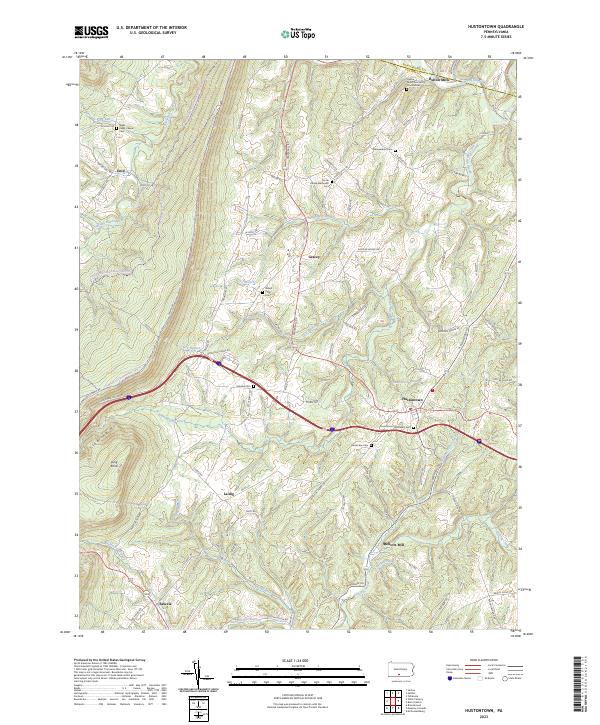
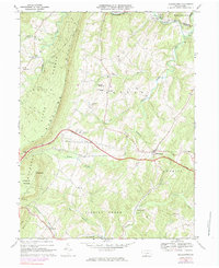
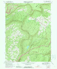
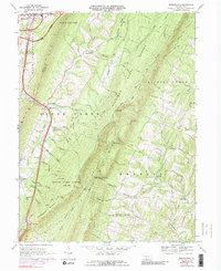
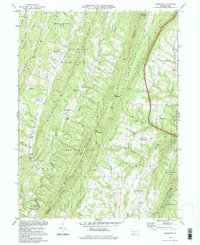
2023 Map of Hustontown
USGS Topo · Published 2023About this map
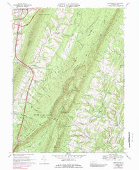
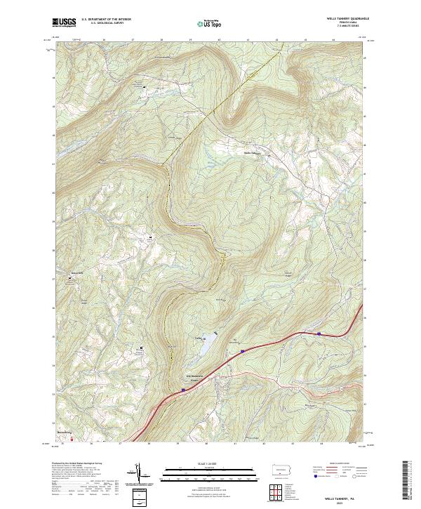
Hustontown and the surrounding townships of the Pennsylvania ridge-and-valley province are defined by the long, parallel ridges of Sideling Hill. This landscape is dotted with small settlements and namesake mills, such as Dublin Mills near the northern boundary and Mellotts Mill to the south. The rural character of the area is underscored by numerous small burial grounds and parish sites, including the Wells Valley Chapel Cem and Hustontown Methodist Cem, which serve as vital landmarks for genealogical research in this part of Fulton County.
Find a feature on this map
33 named features on this map. Tap any name to fly to it.
Don’t see what you’re looking for? This feature index may not catch every label — zoom into the map to look around manually.
Map Details
Editions of this 2023 Hustontown Map
This is the sole edition of this map. No revisions or reprints were ever made.
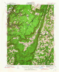
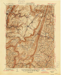
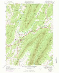
Historical Maps of Springfield Township Through Time
21 maps found
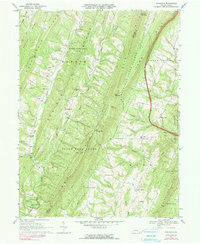
1930 Broad Top
Fulton County, PA
1933 Broad Top
Fulton County, PA
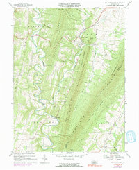
1966 Burnt Cabins
Fulton County, PA
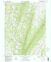
1967 Amaranth
Fulton County, PA
1967 Big Cove Tannery
Fulton County, PA
1967 Breezewood
Fulton County, PA
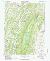
1967 Meadow Grounds
Fulton County, PA
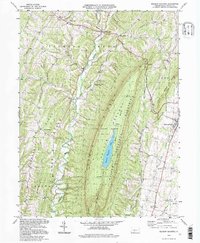
1968 Hustontown
Fulton County, PA
1968 Wells Tannery
Fulton County, PA
1969 Breezewood
Fulton County, PA
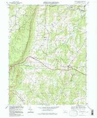
1994 Amaranth
Fulton County, PA
1994 Big Cove Tannery
Fulton County, PA
1994 Hustontown
Fulton County, PA
1994 Meadow Grounds
Fulton County, PA
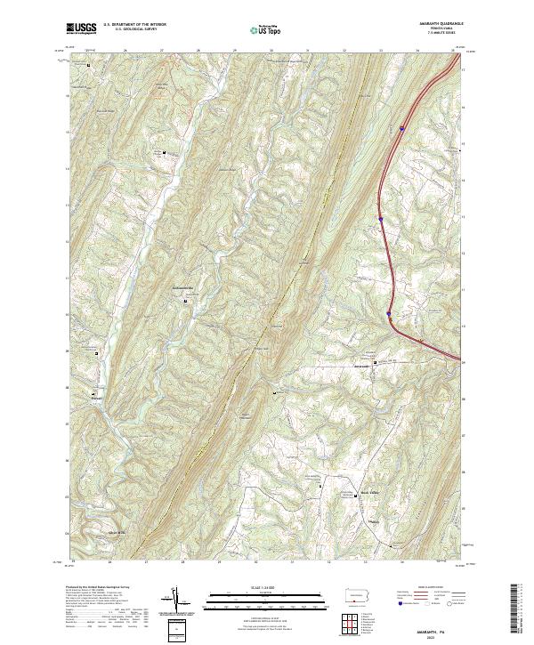
2023 Amaranth
Fulton County, PA
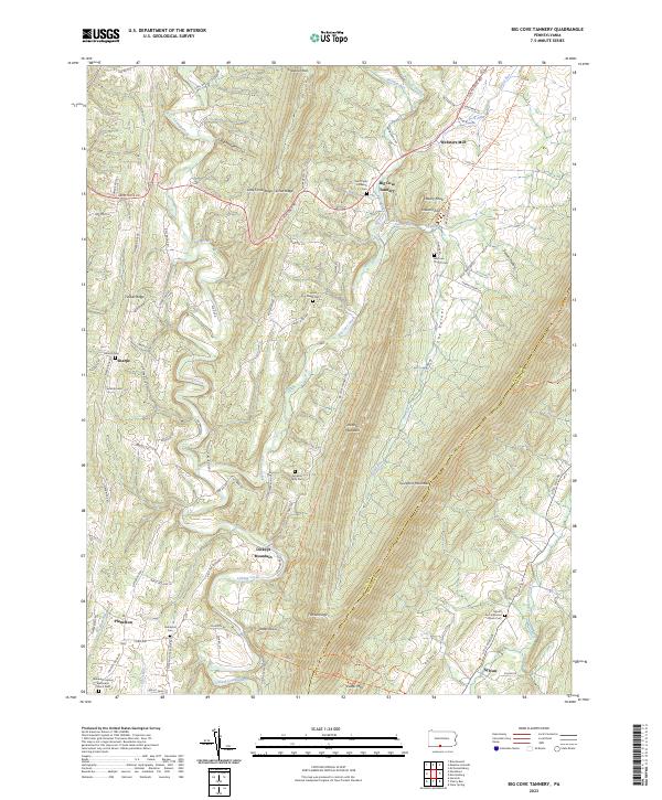
2023 Big Cove Tannery
Fulton County, PA
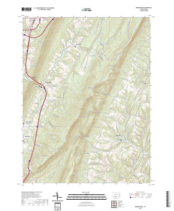
2023 Breezewood
Fulton County, PA
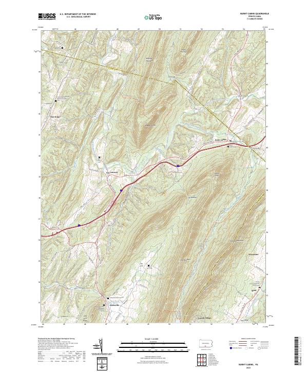
2023 Burnt Cabins
Fulton County, PA
2023 Hustontown
Fulton County, PA
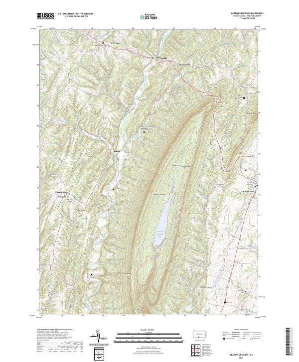
2023 Meadow Grounds
Fulton County, PA
2023 Wells Tannery
Fulton County, PA
Featured Locations
- Wells Township, PA
- Brush Creek Township, PA
- Dublin Township, PA
- Clay Township, PA
- Springfield Township, PA