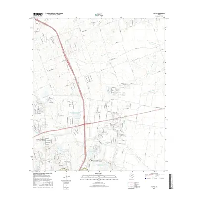
2016 Map of Hutto
USGS Topo · Published 2016About this map
Hutto, Pflugerville, and the eastern edge of Round Rock define this corner of Williamson County during a period of significant suburban expansion. The map detail highlights a sophisticated water management system, featuring multiple reservoirs such as Soil Conservation Service Site 18 Reservoir and Soil Conservation Service Site 21 Reservoir, which protect the watershed of Brushy Creek and Mustang Creek. These hydrological features are integrated into a landscape increasingly partitioned by residential developments like Cross Country Estates. The transition from rural agriculture to a modern transportation corridor is evident in the alignment of State Highway 130 and Highway 79, which intersect near the center of the sheet. Local landmarks including the Post Office and Marshall Field provide points of reference for genealogists tracking the growth of these central Texas communities.
Find a feature on this map
190 named features on this map. Tap any name to fly to it.
Don’t see what you’re looking for? This feature index may not catch every label — zoom into the map to look around manually.
Map Details
Editions of this 2016 Hutto Map
This is the sole edition of this map. No revisions or reprints were ever made.
Other maps of this area

1885 · Taylor
USGS Topo · 1:125,000

1885 · Bastrop
USGS Topo · 1:125,000

1887 · Taylor
USGS Topo · 1:125,000

1893 · Georgetown
USGS Topo · 1:125,000

1893 · Bastrop
USGS Topo · 1:125,000

1894 · Taylor
USGS Topo · 1:125,000

1896 · Austin
USGS Topo · 1:125,000

1897 · Austin
USGS Topo · 1:125,000

1904 · Bastrop
USGS Topo · 1:125,000

1910 · Austin
USGS Topo · 1:125,000