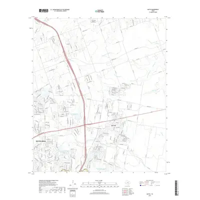
2019 Map of Hutto
USGS Topo · Published 2019About this map
Hutto and the eastern fringes of Round Rock define this 2019 survey, illustrating the rapid residential expansion across Williamson County. The landscape is a mix of dense suburban street grids and managed water resources, including a series of flood-control basins like Soil Conservation Service Site 20 Reservoir and Soil Conservation Service Site 21 Reservoir. These sites manage the flow of local waterways such as Brushy Cr and Cottonwood Cr, which carve through the developing subdivisions.
Find a feature on this map
216 named features on this map. Tap any name to fly to it.
Don’t see what you’re looking for? This feature index may not catch every label — zoom into the map to look around manually.
Map Details
Editions of this 2019 Hutto Map
This is the sole edition of this map. No revisions or reprints were ever made.
Other maps of this area

1885 · Taylor
USGS Topo · 1:125,000

1885 · Bastrop
USGS Topo · 1:125,000

1887 · Taylor
USGS Topo · 1:125,000

1893 · Georgetown
USGS Topo · 1:125,000

1893 · Bastrop
USGS Topo · 1:125,000

1894 · Taylor
USGS Topo · 1:125,000

1896 · Austin
USGS Topo · 1:125,000

1897 · Austin
USGS Topo · 1:125,000

1904 · Bastrop
USGS Topo · 1:125,000

1910 · Austin
USGS Topo · 1:125,000