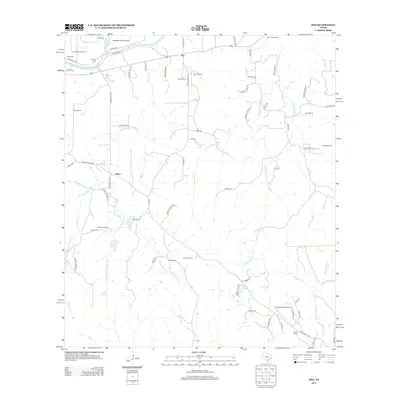
2012 Map of Hye
USGS Topo · Published 2012About this map
The Pedernales River flows through the northern reaches of this Hill Country landscape, serving as a primary geographic anchor for the storied LBJ Ranch. This 2012 survey captures the intersection of presidential history and Texas ranching culture, with the small community of Hye situated along US Highway 290 and the settlement of Albert further south. The land is marked by an extensive network of named family properties, including Bauer Ranch, Schumann Ranch, and Wilke Ranch, indicating a enduring pattern of private land ownership and agriculture.
Find a feature on this map
76 named features on this map. Tap any name to fly to it.
Don’t see what you’re looking for? This feature index may not catch every label — zoom into the map to look around manually.
Map Details
Editions of this 2012 Hye Map
This is the sole edition of this map. No revisions or reprints were ever made.
Other maps of this area

1887 · Blanco
USGS Topo · 1:125,000

1894 · Fredericksburg
USGS Topo · 1:125,000

1894 · Blanco
USGS Topo · 1:125,000

1954 · Llano
USGS Topo · 1:250,000

1955 · Llano
USGS Topo · 1:250,000

1956 · Llano
USGS Topo · 1:250,000

1961 · Stonewall
USGS Topo · 1:24,000

1961 · Hye
USGS Topo · 1:24,000

1961 · Cave Creek School
USGS Topo · 1:24,000

1961 · Rocky Creek
USGS Topo · 1:24,000