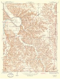
1944 Map of Iconium
USGS Topo · Published 1944About this map
The Osage River winds through the northwestern corner of this territory, creating a dramatic loop at Horseshoe Bend before continuing past Cedar Point and Lookout Point. Surveyed in 1940, the landscape is defined by a dense network of hollows—such as Wisner Hollow, Blalock Hollow, and Reynolds Hollow—that carve through the terrain between the river and the surrounding uplands. Small rural communities and landmarks are scattered throughout the region, including the settlement of Iconium and the Boy Scout Camp situated near the river bluffs.
Find a feature on this map
38 named features on this map. Tap any name to fly to it.
Don’t see what you’re looking for? This feature index may not catch every label — zoom into the map to look around manually.
Map Details
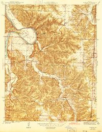
Editions of this 1944 Iconium Map
2 editions found
Other maps of this area

1884 · Bolivar
USGS Topo · 1:125,000

1886 · Stockton
USGS Topo · 1:125,000

1887 · Clinton
USGS Topo · 1:125,000

1887 · Warsaw
USGS Topo · 1:125,000

1892 · Bolivar
USGS Topo · 1:125,000

1894 · Warsaw
USGS Topo · 1:125,000

1894 · Clinton
USGS Topo · 1:125,000

1938 · Vista
USGS Topo · 1:24,000

1939 · Osceola
USGS Topo · 1:24,000

1940 · Osceola
USGS Topo · 1:24,000