
1951 Map of Idabel
USGS Topo · Published 1951About this map
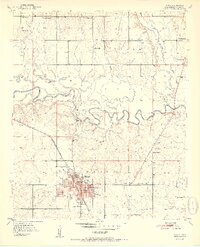
Idabel serves as the focal point of this 1951 survey, exhibiting a well-organized street grid that supports the Courthouse, an Armory, and multiple educational institutions including Washington Sch, Gray High Sch, and Central Sch. The St Louis and San Francisco railroad cuts diagonally through the landscape, linking the town to the broader regional economy. The surrounding McCurtain County countryside is defined by the winding course of the Little River, which meanders through the townships of Sulphur, Eagle, and White.
Find a feature on this map
40 named features on this map. Tap any name to fly to it.
Don’t see what you’re looking for? This feature index may not catch every label — zoom into the map to look around manually.
Map Details
Editions of this 1951 Idabel Map
2 editions found
Other maps of this area

1902 · Lukfata
USGS Topo · 1:125,000

1950 · Mcalester
USGS Topo · 1:250,000

1950 · Idabel
USGS Topo · 1:24,000

1950 · Acworth
USGS Topo · 1:24,000

1950 · Shults
USGS Topo · 1:24,000

1950 · Haworth
USGS Topo · 1:24,000

1951 · Garvin
USGS Topo · 1:24,000

1951 · Idabel SE
USGS Topo · 1:24,000

1951 · Haworth
USGS Topo · 1:24,000

1951 · Shults
USGS Topo · 1:24,000