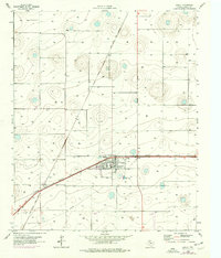
1965 Map of Idalou
USGS Topo · Published 1976About this map
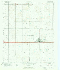
Idalou serves as the central hub of this West Texas landscape, where the agricultural economy is etched into the grid of the High Plains. The convergence of the Atchison Topeka and Santa Fe and the Fort Worth and Denver railroads highlights the town's importance as a shipping point for the region's cotton harvest. The industrial character of the mid-1960s is evidenced by the prominent Cotton Gin and a nearby Quarry, while the local civic layout includes a High Sch and the Idalou Cem east of the main townsite. The topography is defined by numerous playa lakes and depression contours, characteristic of the Llano Estacado. Smaller landmarks like the Airport and a Sewage Disposal Pond reflect the infrastructure supporting this rural community during a period of steady development.
Find a feature on this map
12 named features on this map. Tap any name to fly to it.
Don’t see what you’re looking for? This feature index may not catch every label — zoom into the map to look around manually.
Map Details
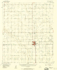
Editions of this 1965 Idalou Map
2 editions found
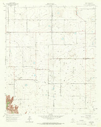
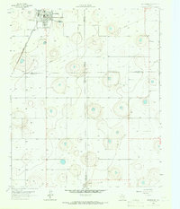
Other maps of this area

1954 · Lubbock
USGS Topo · 1:250,000
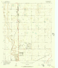
1956 · New Deal
USGS Topo · 1:24,000
1957 · Lubbock East
USGS Topo · 1:24,000

1957 · Lubbock
USGS Topo · 1:62,500
1957 · Abernathy
USGS Topo · 1:62,500
1965 · Acuff
USGS Topo · 1:24,000
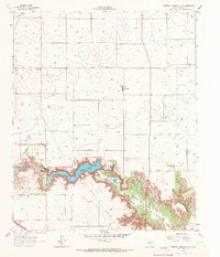
1965 · Buffalo Springs Lake
USGS Topo · 1:24,000
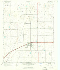
1965 · Idalou
USGS Topo · 1:24,000
1965 · Petersburg
USGS Topo · 1:24,000
1965 · Lorenzo
USGS Topo · 1:24,000