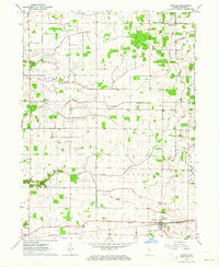
1962 Map of Idaville
USGS Topo · Published 1964About this map
Idaville serves as the primary hub in the southeastern corner of this 1962 survey, where the Pennsylvania railroad line cuts through the landscape. The surrounding rural townships of Liberty, Lincoln, and Union are defined by a complex drainage network including Keans Creek, Pike Creek, and numerous man-made channels like Carnahan Ditch. This era shows a community structured around small local institutions, with several family-named burial grounds and schools still clearly marked across the agricultural tracts.
Find a feature on this map
28 named features on this map. Tap any name to fly to it.
Don’t see what you’re looking for? This feature index may not catch every label — zoom into the map to look around manually.
Map Details
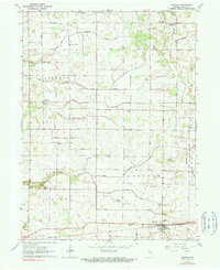
Editions of this 1962 Idaville Map
2 editions found
Other maps of this area

1953 · Danville
USGS Topo · 1:250,000

1955 · Danville
USGS Topo · 1:250,000

1956 · Danville
USGS Topo · 1:250,000

1962 · Buffalo
USGS Topo · 1:24,000

1962 · Burrows
USGS Topo · 1:24,000

1962 · Monticello South
USGS Topo · 1:24,000

1962 · Monon NE
USGS Topo · 1:24,000

1962 · Star City
USGS Topo · 1:24,000

1962 · Burnettsville
USGS Topo · 1:24,000

1962 · Monticello North
USGS Topo · 1:24,000