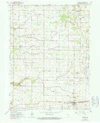
1962 Map of Idaville
USGS Topo · Published 1977About this map
Idaville serves as a small rail hub along the southern edge of this White County landscape, where the Pennsylvania railroad line cuts through the countryside. The terrain is defined by a dense network of drainage engineering, including Ditch No 2, Burgett Ditch, and Suits Ditch, which manage the flow of water across the agricultural plains. Small clusters of rural life are found at Sitka and Bell Center, each supporting the surrounding farmsteads.
Find a feature on this map
27 named features on this map. Tap any name to fly to it.
Don’t see what you’re looking for? This feature index may not catch every label — zoom into the map to look around manually.
Map Details
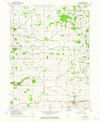
Editions of this 1962 Idaville Map
2 editions found
Other maps of this area

1953 · Danville
USGS Topo · 1:250,000

1955 · Danville
USGS Topo · 1:250,000

1956 · Danville
USGS Topo · 1:250,000

1962 · Buffalo
USGS Topo · 1:24,000

1962 · Burrows
USGS Topo · 1:24,000

1962 · Monticello South
USGS Topo · 1:24,000

1962 · Monon NE
USGS Topo · 1:24,000

1962 · Star City
USGS Topo · 1:24,000

1962 · Burnettsville
USGS Topo · 1:24,000

1962 · Monticello North
USGS Topo · 1:24,000