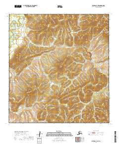
2019 Map of Iditarod C-1 NW
USGS Topo · Published 2019About this map
The Tatlawiksuk River system anchors this interior Alaskan landscape, characterized by complex drainage patterns and shifting watercourses. In this remote section of the Yukon-Koyukuk Census Area, the topography is defined by the winding paths of Beaver Cr and Big Cr, which carve through the terrain as they feed into larger regional basins. The absence of roads or permanent structures reflects the traditional character of the territory, where the Tokotna River serves as a primary geographic marker. The 2019 data illustrates the natural hydrology and elevation of the land prior to any modern development, offering a precise view of the drainage divides that have dictated movement through this region for generations.
Find a feature on this map
12 named features on this map. Tap any name to fly to it.
Don’t see what you’re looking for? This feature index may not catch every label — zoom into the map to look around manually.
Map Details
Editions of this 2019 Iditarod C-1 NW Map
This is the sole edition of this map. No revisions or reprints were ever made.
Other maps of this area

1951 · Iditarod
USGS Topo · 1:250,000

1954 · Iditarod C-2
USGS Topo · 1:63,360

1954 · Iditarod D-2
USGS Topo · 1:63,360
1954 · Iditarod D-1
USGS Topo · 1:63,360
1955 · Iditarod D-1
USGS Topo · 1:63,360
1956 · Iditarod C-1
USGS Topo · 1:63,360

1956 · Iditarod
USGS Topo · 1:250,000
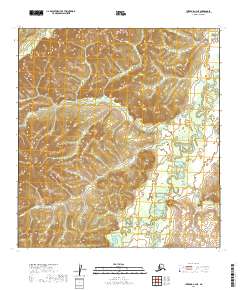
2019 · Iditarod C-2 NE
USGS Topo · 1:25,000
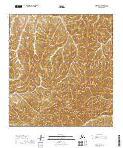
2019 · Iditarod C-1 SW
USGS Topo · 1:25,000
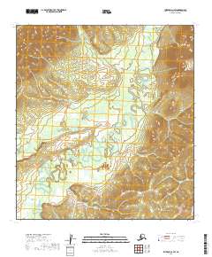
2019 · Iditarod D-1 SW
USGS Topo · 1:25,000