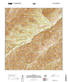
2019 Map of Iditarod C-2 NW
USGS Topo · Published 2019About this map
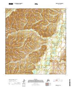
Fourth of July Cr flows across this remote Alaskan interior landscape, carving through a series of ridges and valleys within the Yukon-Koyukuk region. This 2019 survey captures the drainage patterns of the area, where water bodies like Bonnie Cr and Lincoln Cr define the local topography. The map illustrates a largely unsettled wilderness, marked by township and range boundaries such as t30n r41w and t31n r40w, reflecting the standard grid of the Public Land Survey System applied to this unpopulated terrain. The winding course of Minnie Cr in the southern portion of the quadrangle further emphasizes the intricate natural drainage network of this subarctic environment, offering a clear record of the watershed before any significant modern development or industrial footprint.
Find a feature on this map
10 named features on this map. Tap any name to fly to it.
Don’t see what you’re looking for? This feature index may not catch every label — zoom into the map to look around manually.
Map Details
Editions of this 2019 Iditarod C-2 NW Map
This is the sole edition of this map. No revisions or reprints were ever made.
Other maps of this area

1951 · Iditarod
USGS Topo · 1:250,000

1954 · Iditarod C-3
USGS Topo · 1:63,360

1954 · Iditarod C-2
USGS Topo · 1:63,360

1954 · Iditarod D-2
USGS Topo · 1:63,360

1954 · Iditarod D-3
USGS Topo · 1:63,360

1956 · Iditarod
USGS Topo · 1:250,000
2019 · Iditarod C-3 SE
USGS Topo · 1:25,000
2019 · Iditarod C-3 NE
USGS Topo · 1:25,000
2019 · Iditarod D-3 SE
USGS Topo · 1:25,000
2019 · Iditarod C-2 NE
USGS Topo · 1:25,000