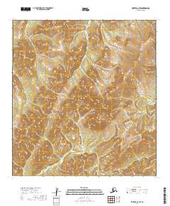
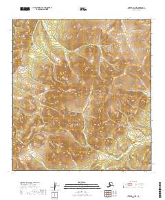
2019 Map of Iditarod C-3 SW
USGS Topo · Published 2019About this map
Kuskokwim Mountains terrain dominates this 2019 survey, illustrating the high-elevation drainages that define the Alaskan interior. The landscape is characterized by a series of prominent peaks and passes, most notably the high point at Camelback Mtn and the transit through Black Pass. These geological features dictate the flow of several distinct watercourses, including Guggenheim Cr and Montana Cr.
Find a feature on this map
12 named features on this map. Tap any name to fly to it.
Don’t see what you’re looking for? This feature index may not catch every label — zoom into the map to look around manually.
Map Details
Editions of this 2019 Iditarod C-3 SW Map
This is the sole edition of this map. No revisions or reprints were ever made.
Other maps of this area

1951 · Iditarod
USGS Topo · 1:250,000

1954 · Iditarod C-4
USGS Topo · 1:63,360

1954 · Iditarod C-3
USGS Topo · 1:63,360

1954 · Iditarod B-3
USGS Topo · 1:63,360

1954 · Iditarod B-4
USGS Topo · 1:63,360

1956 · Iditarod
USGS Topo · 1:250,000
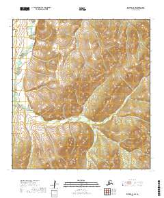
2019 · Iditarod C-3 NW
USGS Topo · 1:25,000
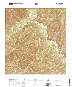
2019 · Iditarod C-3 SE
USGS Topo · 1:25,000
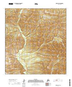
2019 · Iditarod B-3 NE
USGS Topo · 1:25,000
2019 · Iditarod C-3 NE
USGS Topo · 1:25,000