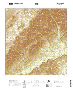
2019 Map of Iditarod D-2 SE
USGS Topo · Published 2019About this map
Last Chance Cr flows through this remote stretch of the Yukon-Koyukuk region, carving a narrow valley through the interior highlands. Produced by the U.S. Geological Survey using 2010 imagery and 2019 elevation data, this topographic record details a landscape defined by sharp contour lines and the absence of permanent human settlements or established roadways. The map area is primarily organized by the Public Land Survey System, encompassing portions of t32n r40w, t32n r39w, t31n r40w, and t31n r39w. This particular quadrant reflects the raw interior of Alaska, where the natural drainage of minor waterways like Last Chance Cr provides the only significant landmarks for navigation and land classification.
Find a feature on this map
5 named features on this map. Tap any name to fly to it.
Don’t see what you’re looking for? This feature index may not catch every label — zoom into the map to look around manually.
Map Details
Editions of this 2019 Iditarod D-2 SE Map
This is the sole edition of this map. No revisions or reprints were ever made.
Other maps of this area

1951 · Iditarod
USGS Topo · 1:250,000

1954 · Iditarod C-2
USGS Topo · 1:63,360

1954 · Iditarod D-2
USGS Topo · 1:63,360
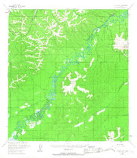
1954 · Iditarod D-1
USGS Topo · 1:63,360
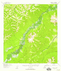
1955 · Iditarod D-1
USGS Topo · 1:63,360
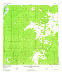
1956 · Iditarod C-1
USGS Topo · 1:63,360

1956 · Iditarod
USGS Topo · 1:250,000
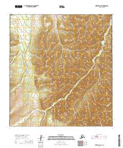
2019 · Iditarod D-2 NE
USGS Topo · 1:25,000
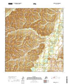
2019 · Iditarod C-2 NE
USGS Topo · 1:25,000
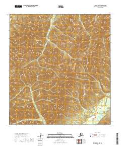
2019 · Iditarod D-1 NW
USGS Topo · 1:25,000