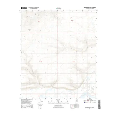
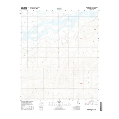
2016 Map of Ikpikpuk River A-1 NW
USGS Topo · Published 2016About this map
Kimikpak Ridge dominates the northern reaches of this Arctic landscape, where steep contour lines define a prominent highland overlooking the complex drainage systems of the North Slope. In the south, the Colville River carves through the terrain, its banks flanked by a dense network of wetlands and smaller water bodies identified by the FWS National Wetlands Inventory. The map documents the vast, unpopulated character of this region within the t2s r7w and t4s r6w townships, showing an area where natural topographic barriers and large-scale fluvial processes are the primary features. This data, compiled from sources spanning 1950 to 2016, provides a detailed record of the Arctic tundra and its hydrological patterns before further environmental shifts or modern infrastructure reach this remote interior corridor.
Find a feature on this map
8 named features on this map. Tap any name to fly to it.
Don’t see what you’re looking for? This feature index may not catch every label — zoom into the map to look around manually.
Map Details
Editions of this 2016 Ikpikpuk River A-1 NW Map
This is the sole edition of this map. No revisions or reprints were ever made.
Other maps of this area

1951 · Ikpikpuk River
USGS Topo · 1:250,000

1956 · Ikpikpuk River
USGS Topo · 1:250,000
1984 · Ikpikpuk River A-1
USGS Topo · 1:63,360
1984 · Ikpikpuk River A-2
USGS Topo · 1:63,360
1985 · Ikpikpuk River B-2
USGS Topo · 1:63,360
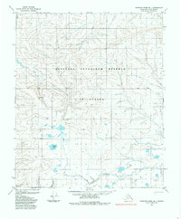
1985 · Ikpikpuk River B-1
USGS Topo · 1:63,360
2013 · Ikpikpuk River B-2 SE
USGS Topo · 1:25,000
2013 · Ikpikpuk River B-1 SW
USGS Topo · 1:25,000
2016 · Ikpikpuk River A-2 SE
USGS Topo · 1:25,000
2016 · Ikpikpuk River A-1 SW
USGS Topo · 1:25,000