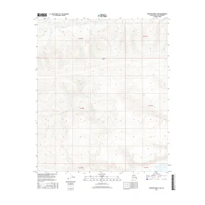
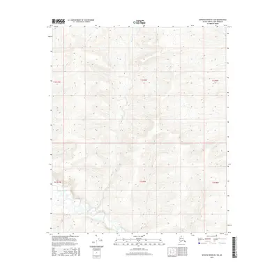
2016 Map of Ikpikpuk River A-2 NE
USGS Topo · Published 2016About this map
Kimipak Ridge dominates the northern half of this terrain in the North Slope Borough, serving as a significant geographical divider between the northern and southern drainage systems. The landscape is defined by the headwaters of Anak Cr to the northwest and the winding path of Weasel Cr as it traverses the central and western sections of the township boundaries. This 2016 survey illustrates the high-latitude topography of the Arctic region, where subtle elevation changes dictate the flow of seasonal watercourses through a network of sections including t3s r8w, t2s r8w, and t3s r7w. The map provides a precise view of this remote landscape before further environmental or infrastructure changes occurred in the early 21st century.
Find a feature on this map
9 named features on this map. Tap any name to fly to it.
Don’t see what you’re looking for? This feature index may not catch every label — zoom into the map to look around manually.
Map Details
Editions of this 2016 Ikpikpuk River A-2 NE Map
This is the sole edition of this map. No revisions or reprints were ever made.
Other maps of this area

1951 · Ikpikpuk River
USGS Topo · 1:250,000

1956 · Ikpikpuk River
USGS Topo · 1:250,000
1984 · Ikpikpuk River A-1
USGS Topo · 1:63,360
1984 · Ikpikpuk River A-2
USGS Topo · 1:63,360
1985 · Ikpikpuk River B-2
USGS Topo · 1:63,360
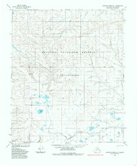
1985 · Ikpikpuk River B-1
USGS Topo · 1:63,360
2013 · Ikpikpuk River B-2 SE
USGS Topo · 1:25,000
2013 · Ikpikpuk River B-1 SW
USGS Topo · 1:25,000
2016 · Ikpikpuk River A-2 SW
USGS Topo · 1:25,000
2016 · Ikpikpuk River B-2 SW
USGS Topo · 1:25,000