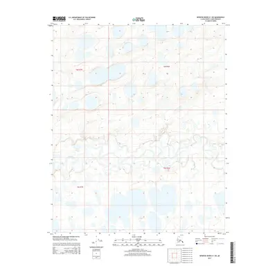
2015 Map of Ikpikpuk River D-1 SW
USGS Topo · Published 2015About this map
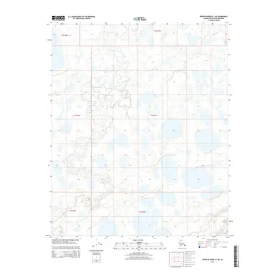
Key Creek meanders through the heart of this North Slope landscape, defining the drainage patterns of the Ikpikpuk River D-1 SW quadrangle. The terrain is characterized by a dense network of thermokarst lakes and thaw ponds, typical of the Arctic coastal plain's permafrost environment. These water bodies, scattered across the township boundaries of t6n r7w, t6n r6w, t5n r7w, and t5n r6w, illustrate the shifting, saturated surface of the Alaskan tundra in the early 21st century. The map provides a detailed view of these hydrological features before further climate-driven geomorphological changes, offering a baseline for studying the evolution of the North Slope's unique lake-rich geography.
Find a feature on this map
5 named features on this map. Tap any name to fly to it.
Don’t see what you’re looking for? This feature index may not catch every label — zoom into the map to look around manually.
Map Details
Editions of this 2015 Ikpikpuk River D-1 SW Map
This is the sole edition of this map. No revisions or reprints were ever made.
Other maps of this area

1951 · Ikpikpuk River
USGS Topo · 1:250,000

1956 · Ikpikpuk River
USGS Topo · 1:250,000
1984 · Ikpikpuk River D-1
USGS Topo · 1:63,360
1984 · Ikpikpuk River D-2
USGS Topo · 1:63,360
1985 · Ikpikpuk River C-1
USGS Topo · 1:63,360
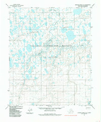
1985 · Ikpikpuk River C-2
USGS Topo · 1:63,360
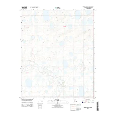
2015 · Ikpikpuk River D-1 SE
USGS Topo · 1:25,000
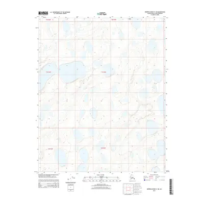
2015 · Ikpikpuk River D-1 NE
USGS Topo · 1:25,000
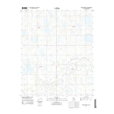
2015 · Ikpikpuk River D-2 SE
USGS Topo · 1:25,000
2015 · Ikpikpuk River C-1 NE
USGS Topo · 1:25,000