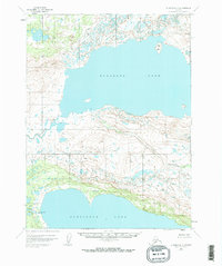
1951 Map of Iliamna A-7
USGS Topo · Published 1970About this map
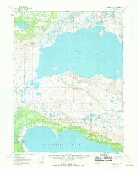
Kukaklek Lake and Nonvianuk Lake dominate this 1951 study of the Alaskan landscape, showcasing a vast network of glacial waters and drainage systems. The northern expanse is defined by the massive reach of Kukaklek Lake, featuring the lonely silhouette of Bear Island. Between the two lakes, a high ridge of terrain is carved by the meandering path of Nanuktuk Creek, which flows through several smaller unnamed water bodies before meeting the lake shore.
Find a feature on this map
7 named features on this map. Tap any name to fly to it.
Don’t see what you’re looking for? This feature index may not catch every label — zoom into the map to look around manually.
Map Details
Editions of this 1951 Iliamna A-7 Map
3 editions found
Other maps of this area

1948 · Mt Katmai
USGS Topo · 1:250,000

1951 · Mt Katmai
USGS Topo · 1:250,000

1951 · Mount Katmai D-5
USGS Topo · 1:63,360

1951 · Iliamna A-7
USGS Topo · 1:63,360

1951 · Mount Katmai D-4
USGS Topo · 1:63,360

1951 · Iliamna A-8
USGS Topo · 1:63,360

1951 · Iliamna B-7
USGS Topo · 1:63,360

1951 · Iliamna B-6
USGS Topo · 1:63,360

1951 · Iliamna A-6
USGS Topo · 1:63,360

1952 · Iliamna
USGS Topo · 1:250,000