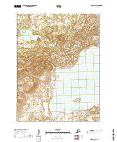
2019 Map of Iliamna A-7 NW
USGS Topo · Published 2019About this map
Katmai National Preserve encompasses the southern portion of this landscape, where the vast waters of Kukaklek Lake meet the headwaters of the Alagnak River. This 2019 survey documents a pristine subarctic environment defined by intricate drainage patterns and glacial geography. The transition from the massive lake into the river system suggests a critical corridor for regional hydrology and migratory patterns, unencumbered by human infrastructure or permanent settlements. To the north, the terrain is marked by smaller water bodies and the winding course of Nanuktuk Cr, illustrating the complex water-shedding character of the Alaska Peninsula. The map provides a precise record of these wild waterways within the Lake and Peninsula Borough before any modern development or landscape alteration.
Find a feature on this map
8 named features on this map. Tap any name to fly to it.
Don’t see what you’re looking for? This feature index may not catch every label — zoom into the map to look around manually.
Map Details
Editions of this 2019 Iliamna A-7 NW Map
This is the sole edition of this map. No revisions or reprints were ever made.
Other maps of this area

1951 · Iliamna A-7
USGS Topo · 1:63,360

1951 · Iliamna A-8
USGS Topo · 1:63,360

1951 · Iliamna B-7
USGS Topo · 1:63,360

1952 · Iliamna
USGS Topo · 1:250,000
1952 · Iliamna A-8
USGS Topo · 1:63,360
1954 · Iliamna B-8
USGS Topo · 1:63,360

1957 · Iliamna
USGS Topo · 1:250,000
2019 · Iliamna B-7 SW
USGS Topo · 1:25,000
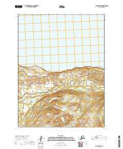
2019 · Iliamna B-8 SE
USGS Topo · 1:25,000
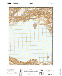
2019 · Iliamna A-7 NE
USGS Topo · 1:25,000