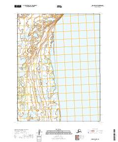
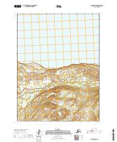
2019 Map of Iliamna B-8 NW
USGS Topo · Published 2019About this map
Iliamna Lake dominates the eastern landscape of this coastal Alaska region, where the freshwater expanse meets a complex network of wetlands and minor drainages. Near the center of the sheet, the waters of Grants Lagoon sit partitioned from the larger lake by a narrow landform, illustrating the shifting hydrography of the Lake and Peninsula Borough. This 2019 survey, utilizing data from the National Hydrography Dataset and SPOT imagery, meticulously records the various small ponds and marshy reaches that define the western shoreline. The landscape is primarily defined by its natural water features and the established boundaries of the Public Land Survey System, including t8s r39w and t9s r39w, reflecting the remote and undeveloped character of this specific Alaskan quadrangle.
Find a feature on this map
6 named features on this map. Tap any name to fly to it.
Don’t see what you’re looking for? This feature index may not catch every label — zoom into the map to look around manually.
Map Details
Editions of this 2019 Iliamna B-8 NW Map
This is the sole edition of this map. No revisions or reprints were ever made.
Other maps of this area

1951 · Dillingham
USGS Topo · 1:250,000

1952 · Iliamna
USGS Topo · 1:250,000

1954 · Iliamna C-8
USGS Topo · 1:63,360

1954 · Dillingham
USGS Topo · 1:250,000
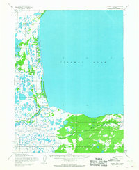
1954 · Iliamna B-8
USGS Topo · 1:63,360

1954 · Dillingham C-1
USGS Topo · 1:63,360
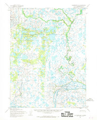
1954 · Dillingham B-1
USGS Topo · 1:63,360

1957 · Iliamna
USGS Topo · 1:250,000
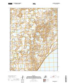
2019 · Iliamna C-8 SW
USGS Topo · 1:25,000
2019 · Iliamna B-8 SE
USGS Topo · 1:25,000