
1958 Map of Iliamna C-1
USGS Topo · Published 1961About this map
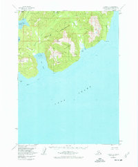
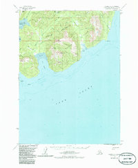
Industrial prospects along the Cook Inlet are evidenced by the presence of the Iniskin Well and multiple Oil Wells scattered near Bowser Creek and Keystone Creek. This 1958 field-annotated survey of the Iniskin Peninsula reveals a landscape defined by natural resource exploration and maritime geography. A solitary Tractor Trail and a remote Airstrip provide the only significant terrestrial access to the rugged interior, which is dominated by prominent heights such as Shark Tooth Hill, Mt Pomeroy, and Front Mountain. The coastline is intricately detailed, showing the tidal flats of Oil Bay and the dangerous Oil Reef just offshore. Numerous freshwater sources like Slippery Creek and Fitz Creek drain the Slippery Hills, cutting through the dense coastal wilderness toward the Right Arm Iniskin Bay.
Find a feature on this map
36 named features on this map. Tap any name to fly to it.
Don’t see what you’re looking for? This feature index may not catch every label — zoom into the map to look around manually.
Map Details
Editions of this 1958 Iliamna C-1 Map
3 editions found
Other maps of this area

1949 · Iliamna C-1
USGS Topo · 1:63,360

1951 · Seldovia
USGS Topo · 1:250,000

1952 · Iliamna
USGS Topo · 1:250,000

1957 · Iliamna
USGS Topo · 1:250,000

1958 · Iliamna D-2
USGS Topo · 1:63,360

1958 · Iliamna C-2
USGS Topo · 1:63,360

1958 · Iliamna D-1
USGS Topo · 1:63,360

1958 · Iliamna B-2
USGS Topo · 1:63,360
1958 · Seldovia D-8
USGS Topo · 1:63,360

1963 · Seldovia
USGS Topo · 1:250,000