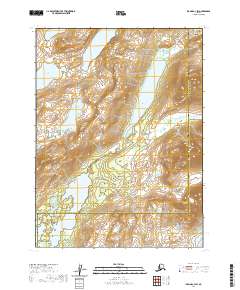
2020 Map of Iliamna C-3 SW
USGS Topo · Published 2020About this map
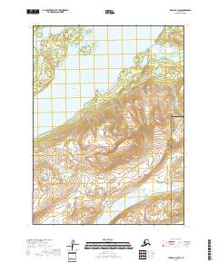
Kokhanok Lake and its surrounding watershed dominate this portion of the Alaska Peninsula, where the landscape is defined by its glacial hydrology and the administrative intersection of the Lake and Peninsula Borough and Kenai Peninsula Borough. The map illustrates a high-latitude wilderness characterized by significant elevation changes, with numerous smaller water bodies such as Meadow Lake, Upper Copper Lake, and Moose Lake situated among the drainage basins.
Find a feature on this map
14 named features on this map. Tap any name to fly to it.
Don’t see what you’re looking for? This feature index may not catch every label — zoom into the map to look around manually.
Map Details
Editions of this 2020 Iliamna C-3 SW Map
This is the sole edition of this map. No revisions or reprints were ever made.
Other maps of this area

1952 · Iliamna
USGS Topo · 1:250,000

1954 · Iliamna C-3
USGS Topo · 1:63,360

1954 · Iliamna B-3
USGS Topo · 1:63,360

1954 · Iliamna C-4
USGS Topo · 1:63,360

1954 · Iliamna B-4
USGS Topo · 1:63,360

1957 · Iliamna
USGS Topo · 1:250,000
2018 · Iliamna C-4 NE
USGS Topo · 1:25,000
2018 · Iliamna B-4 NE
USGS Topo · 1:25,000
2018 · Iliamna C-3 NE
USGS Topo · 1:25,000
2018 · Iliamna C-3 NW
USGS Topo · 1:25,000