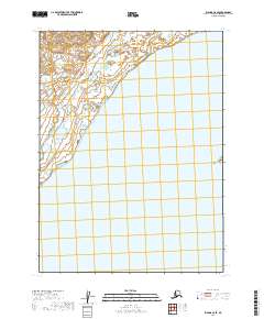
2019 Map of Iliamna C-8 SE
USGS Topo · Published 2019About this map
Iliamna Lake dominates the southern and eastern portions of this map, representing a significant portion of Alaska’s largest body of freshwater. The shoreline transition in the Lake and Peninsula Borough is marked by extensive wetlands and complex hydrological networks flowing into the lake from the northwest. The map details the Township and Range system, including t7s r38w and t7s r37w, providing a precise grid for understanding land management in this remote region. While largely devoid of named settlements or man-made structures, the intricate contouring along the northwestern corner reveals the elevation changes of the surrounding terrain as it slopes toward the massive lake basin.
Find a feature on this map
7 named features on this map. Tap any name to fly to it.
Don’t see what you’re looking for? This feature index may not catch every label — zoom into the map to look around manually.
Map Details
Editions of this 2019 Iliamna C-8 SE Map
This is the sole edition of this map. No revisions or reprints were ever made.
Other maps of this area

1951 · Iliamna B-7
USGS Topo · 1:63,360

1952 · Iliamna
USGS Topo · 1:250,000

1954 · Iliamna C-8
USGS Topo · 1:63,360
1954 · Iliamna C-7
USGS Topo · 1:63,360
1954 · Iliamna B-8
USGS Topo · 1:63,360

1957 · Iliamna
USGS Topo · 1:250,000
2019 · Iliamna C-8 SW
USGS Topo · 1:25,000
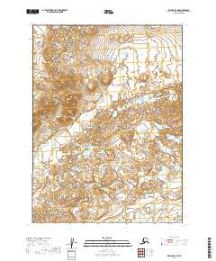
2019 · Iliamna C-8 NE
USGS Topo · 1:25,000
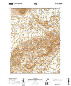
2019 · Iliamna C-8 NW
USGS Topo · 1:25,000
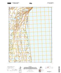
2019 · Iliamna B-8 NW
USGS Topo · 1:25,000