
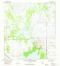
1958 Map of Immokalee NE
USGS Topo · Published 1959About this map
Collier County and Hendry County divide this landscape of the western Florida Everglades in the late 1950s. The terrain is dominated by a complex network of wetlands and wooded hammocks, where the subtle elevation changes of only a few feet dictate the placement of human activity. The Atlantic Coast Line railroad cuts across the southwestern corner, providing a vital transportation artery through the wetlands to the Gulf Coast.
Find a feature on this map
3 named features on this map. Tap any name to fly to it.
Don’t see what you’re looking for? This feature index may not catch every label — zoom into the map to look around manually.
Map Details
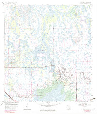
Editions of this 1958 Immokalee NE Map
4 editions found

Other maps of this area

1956 · West Palm Beach
USGS Topo · 1:250,000

1957 · West Palm Beach
USGS Topo · 1:250,000

1958 · West Palm Beach
USGS Topo · 1:250,000

1958 · Felda SE
USGS Topo · 1:24,000

1958 · Immokalee
USGS Topo · 1:24,000

1958 · Felda
USGS Topo · 1:24,000

1958 · Sunniland
USGS Topo · 1:24,000

1958 · Immokalee SW
USGS Topo · 1:24,000

1971 · La Belle 4 SW
USGS Topo · 1:24,000

1974 · Immokalee 1 SW
USGS Topo · 1:24,000