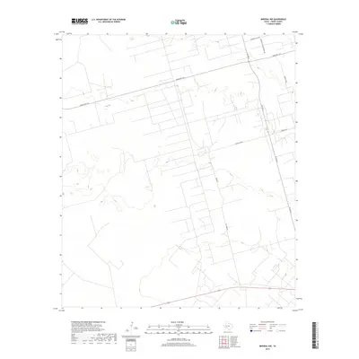
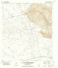
2019 Map of Imperial NW
USGS Topo · Published 2019About this map
Industrial infrastructure and ranching access define this portion of the Permian Basin in Crane County. The landscape is marked by the presence of major petroleum operations, indicated by specialized road names such as Pennzoil Loop and Exxon Loop, which reflect the region's deep ties to the oil and gas industry. These industrial routes intersect with secondary thoroughfares like FM 1053 N and Ranch Rd 1233, forming a grid that supports both energy extraction and rural transport.
Find a feature on this map
8 named features on this map. Tap any name to fly to it.
Don’t see what you’re looking for? This feature index may not catch every label — zoom into the map to look around manually.
Map Details
Editions of this 2019 Imperial NW Map
This is the sole edition of this map. No revisions or reprints were ever made.
Other maps of this area

1954 · Pecos
USGS Topo · 1:250,000

1957 · Pecos
USGS Topo · 1:250,000
1964 · Penwell SW
USGS Topo · 1:24,000
1964 · Penwell SE
USGS Topo · 1:24,000
1968 · Monahans SE
USGS Topo · 1:24,000
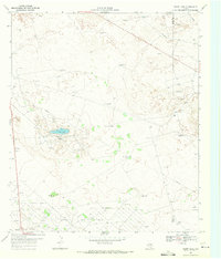
1969 · Ozark Lake
USGS Topo · 1:24,000
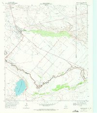
1969 · Grandfalls
USGS Topo · 1:24,000
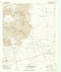
1974 · Tubbs Corner
USGS Topo · 1:24,000
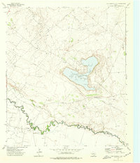
1974 · Juan Cordona Lake
USGS Topo · 1:24,000
1974 · Imperial NW
USGS Topo · 1:24,000