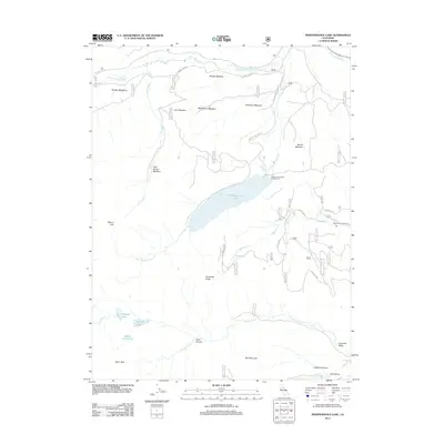
2012 Map of Independence Lake
USGS Topo · Published 2012About this map
Independence Lake sits at the center of this high Sierra Nevada landscape, surrounded by a complex network of alpine meadows and seasonal streams. The terrain is defined by prominent peaks like Mount Lola and Basin Peak, which feed numerous water bodies including Paradise Lake, Warren Lake, and the curiously named Devils Oven Lake. The mapping reveals a land shaped by water, with the Little Truckee River running through the northern reaches near Perazzo Meadows and Saddle Meadow.
Find a feature on this map
33 named features on this map. Tap any name to fly to it.
Don’t see what you’re looking for? This feature index may not catch every label — zoom into the map to look around manually.
Map Details
Editions of this 2012 Independence Lake Map
This is the sole edition of this map. No revisions or reprints were ever made.
Other maps of this area

1890 · Sierraville
USGS Topo · 1:125,000

1891 · Truckee
USGS Topo · 1:125,000

1892 · Sierraville
USGS Topo · 1:125,000

1893 · Truckee
USGS Topo · 1:125,000

1894 · Sierraville
USGS Topo · 1:125,000

1895 · Truckee
USGS Topo · 1:125,000

1932 · Truckee
USGS Topo · 1:96,000

1940 · Truckee
USGS Topo · 1:125,000

1955 · Truckee
USGS Topo · 1:24,000

1955 · Loyalton
USGS Topo · 1:62,500