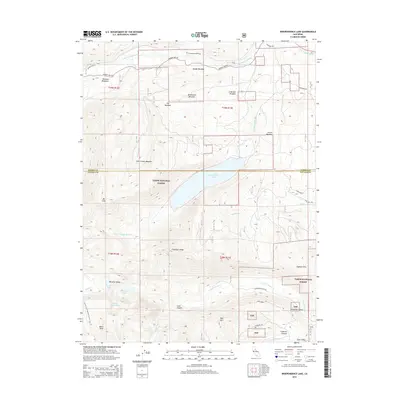
2015 Map of Independence Lake
USGS Topo · Published 2015About this map
Independence Lake serves as the centerpiece of this high-elevation landscape within the Tahoe National Forest, straddling the border of Sierra and Nevada counties. The terrain is defined by significant peaks such as Mt Lola and Basin Peak, connected by the high-altitude route of the Pacific Crest National Scenic Trail. The map documents a complex network of alpine meadows and canyons, including Perazzo Meadows and Crabtree Canyon, which feed numerous water systems like the Little Truckee River and Sagehen Creek. Historically significant transportation routes traverse the area, most notably the Henness Pass Rd, a vital mid-19th-century immigrant and freighting road. To the south, the headwaters of the N Fork Prosser Cr and S Fork Prosser Cr emerge from the slopes of Carpenter Ridge and Red Mtn, illustrating the critical role this watershed plays in the regional hydrography.
Find a feature on this map
45 named features on this map. Tap any name to fly to it.
Don’t see what you’re looking for? This feature index may not catch every label — zoom into the map to look around manually.
Map Details
Editions of this 2015 Independence Lake Map
This is the sole edition of this map. No revisions or reprints were ever made.
Other maps of this area
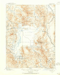
1890 · Sierraville
USGS Topo · 1:125,000
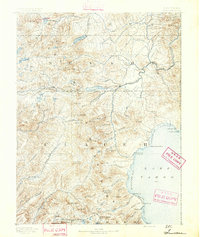
1891 · Truckee
USGS Topo · 1:125,000
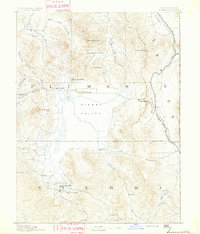
1892 · Sierraville
USGS Topo · 1:125,000
1893 · Truckee
USGS Topo · 1:125,000
1894 · Sierraville
USGS Topo · 1:125,000
1895 · Truckee
USGS Topo · 1:125,000
1932 · Truckee
USGS Topo · 1:96,000
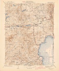
1940 · Truckee
USGS Topo · 1:125,000
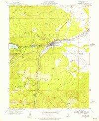
1955 · Truckee
USGS Topo · 1:24,000
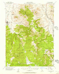
1955 · Loyalton
USGS Topo · 1:62,500