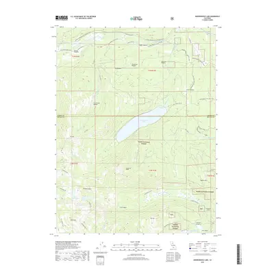
2018 Map of Independence Lake
USGS Topo · Published 2018About this map
Independence Lake sits at the heart of this high-elevation landscape within the Tahoe National Forest, marking a critical hydrologic point where Independence Creek begins its descent. The terrain is defined by a series of significant peaks and ridges, including Mt Lola and Basin Peak, which overlook a network of alpine meadows such as Perazzo Meadows and Saddle Meadow. This 2018 survey captures the modern preservation of these watersheds and the legacy of historical travel routes across the Sierra Nevada. The northern section is crossed by the Old Henness Pass and the Jackson Meadow-Little Truckee route, while the Pacific Crest Trail traverses the southwestern corner near Devils Oven Lake, illustrating the enduring importance of this corridor for both historical transit and contemporary recreation.
Find a feature on this map
50 named features on this map. Tap any name to fly to it.
Don’t see what you’re looking for? This feature index may not catch every label — zoom into the map to look around manually.
Map Details
Editions of this 2018 Independence Lake Map
This is the sole edition of this map. No revisions or reprints were ever made.
Other maps of this area
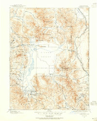
1890 · Sierraville
USGS Topo · 1:125,000
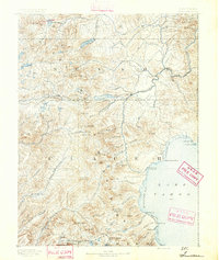
1891 · Truckee
USGS Topo · 1:125,000
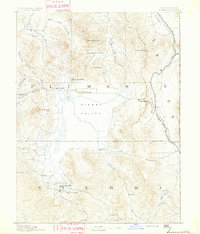
1892 · Sierraville
USGS Topo · 1:125,000
1893 · Truckee
USGS Topo · 1:125,000
1894 · Sierraville
USGS Topo · 1:125,000
1895 · Truckee
USGS Topo · 1:125,000
1932 · Truckee
USGS Topo · 1:96,000
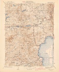
1940 · Truckee
USGS Topo · 1:125,000
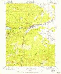
1955 · Truckee
USGS Topo · 1:24,000
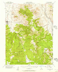
1955 · Loyalton
USGS Topo · 1:62,500