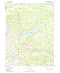
1981 Map of Independence Lake
USGS Topo · Published 1987About this map
Independence Lake sits at the heart of this Sierra Nevada landscape, surrounded by the high-elevation peaks and meadows of the Tahoe National Forest. The map documents the complex water network of the region, where the Truckee River flows to the north and the North Fork Prosser Creek drains the southern slopes of Carpenter Ridge. Historic transit routes are well-represented, from the Henness Pass Road—a vital mid-19th century freighting artery—to the modern Pacific Crest National Scenic Trail winding through the western mountains. The high country is punctuated by numerous alpine basins, including Warren Lake and Paradise Lake near the slopes of Mt Lola. Resource management and scientific study are evident through labels like the Gaging Station on Independence Creek and the Sagehen Road corridor.
Find a feature on this map
34 named features on this map. Tap any name to fly to it.
Don’t see what you’re looking for? This feature index may not catch every label — zoom into the map to look around manually.
Map Details
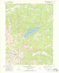
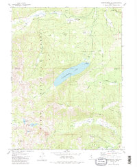
Editions of this 1981 Independence Lake Map
3 editions found
Other maps of this area

1890 · Sierraville
USGS Topo · 1:125,000

1891 · Truckee
USGS Topo · 1:125,000

1892 · Sierraville
USGS Topo · 1:125,000

1893 · Truckee
USGS Topo · 1:125,000

1894 · Sierraville
USGS Topo · 1:125,000

1895 · Truckee
USGS Topo · 1:125,000

1932 · Truckee
USGS Topo · 1:96,000

1940 · Truckee
USGS Topo · 1:125,000

1955 · Truckee
USGS Topo · 1:24,000

1955 · Loyalton
USGS Topo · 1:62,500