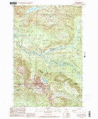
1989 Map of Index
USGS Topo · Published 1989About this map
Index sits at the dramatic confluence of river and ridge, serving as the central hub of this Snoqualmie National Forest landscape. The topography is dominated by the Skykomish River, which divides into the North Fork and South Fork. The mapping details a series of powerful water features that shaped the local geography and economy, from the tiered cascades of Bridal Veil Falls and Sunset Falls to the high-elevation waters of Lake Isabel and Lake Serene.
Find a feature on this map
44 named features on this map. Tap any name to fly to it.
Don’t see what you’re looking for? This feature index may not catch every label — zoom into the map to look around manually.
Map Details
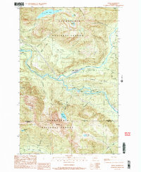
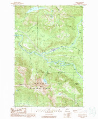
Editions of this 1989 Index Map
3 editions found
Other maps of this area

1902 · Skykomish
USGS Topo · 1:125,000

1905 · Skykomish
USGS Topo · 1:125,000

1921 · Sultan
USGS Topo · 1:125,000

1923 · Sultan
USGS Topo · 1:125,000

1957 · Index
USGS Topo · 1:62,500

1957 · Wenatchee
USGS Topo · 1:250,000

1960 · Mount Si
USGS Topo · 1:62,500

1965 · Grotto
USGS Topo · 1:24,000

1965 · Monte Cristo
USGS Topo · 1:24,000
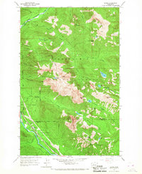
1965 · Baring
USGS Topo · 1:24,000