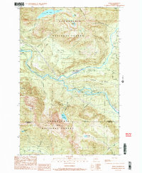
1989 Map of Index
USGS Topo · Published 1989About this map
Index serves as the central hub of this mountain landscape, positioned at the confluence of the North Fork and the South Fork of the Skykomish River. The late 1980s topography reveals a geography defined by extreme vertical relief, featuring peaks like Mt Index and Mt Persis that dwarf the river valleys below. Evidence of earlier industrial infrastructure is present in the Old Railroad grade and nearby Fish Ponds, while more contemporary developments include a Trailer Park and a Radio Facility tucked into the lower elevations. The map is particularly notable for its high concentration of cascades, documenting Bridal Veil Falls, Eagle Falls, Sunset Falls, and Canyon Falls. Alpine lakes such as Lake Isabel, Lake Serene, and Lost Lake dot the high reaches of the Snoqualmie National Forest, illustrating the transition from river-bottom commerce to protected wilderness.
Find a feature on this map
43 named features on this map. Tap any name to fly to it.
Don’t see what you’re looking for? This feature index may not catch every label — zoom into the map to look around manually.
Map Details
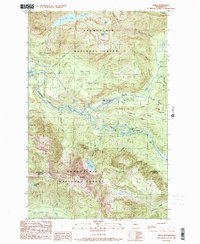
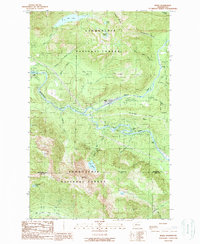
Editions of this 1989 Index Map
3 editions found
Other maps of this area

1902 · Skykomish
USGS Topo · 1:125,000

1905 · Skykomish
USGS Topo · 1:125,000

1921 · Sultan
USGS Topo · 1:125,000

1923 · Sultan
USGS Topo · 1:125,000

1957 · Index
USGS Topo · 1:62,500

1957 · Wenatchee
USGS Topo · 1:250,000

1960 · Mount Si
USGS Topo · 1:62,500

1965 · Grotto
USGS Topo · 1:24,000

1965 · Monte Cristo
USGS Topo · 1:24,000
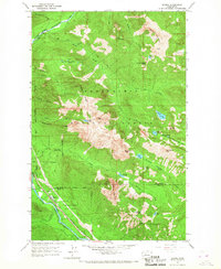
1965 · Baring
USGS Topo · 1:24,000