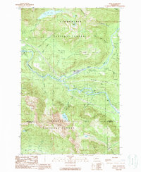
1989 Map of Index
USGS Topo · Published 1989About this map
The town of Index sits at the confluence of the north and south forks of the Skykomish River, serving as a focal point for the mountain landscape of the Snoqualmie National Forest in the late 1980s. The geography is defined by significant vertical relief, where peaks like Mt Index and Mt Persis tower over deep river valleys. The presence of an Old Railroad Grade and scattered sites labeled mine, quarry, and prospect reflect the region's historical reliance on extraction and transport.
Find a feature on this map
49 named features on this map. Tap any name to fly to it.
Don’t see what you’re looking for? This feature index may not catch every label — zoom into the map to look around manually.
Map Details
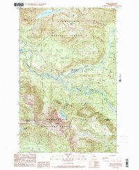
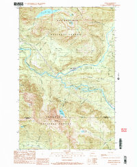
Editions of this 1989 Index Map
3 editions found
Other maps of this area

1902 · Skykomish
USGS Topo · 1:125,000

1905 · Skykomish
USGS Topo · 1:125,000

1921 · Sultan
USGS Topo · 1:125,000

1923 · Sultan
USGS Topo · 1:125,000

1957 · Index
USGS Topo · 1:62,500

1957 · Wenatchee
USGS Topo · 1:250,000

1960 · Mount Si
USGS Topo · 1:62,500

1965 · Grotto
USGS Topo · 1:24,000

1965 · Monte Cristo
USGS Topo · 1:24,000
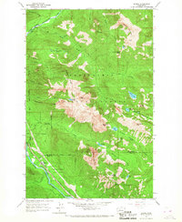
1965 · Baring
USGS Topo · 1:24,000