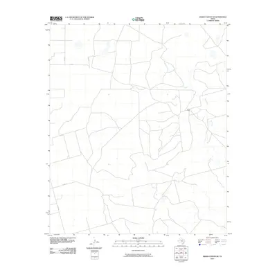
2010 Map of Indian Canyon NE
USGS Topo · Published 2010About this map
Bull Creek meanders through this portion of Garza County, carving a drainage pattern through the West Texas landscape. The area is characterized by vast open spaces and a grid of rural roads, including Co Rd 87, Co Rd 37, and Co Rd 88, which provide access to isolated holdings. The most prominent named site on this survey is Dennis Ranch, which sits near a bend in the creek, representing the typical ranching life of the region. This 2010 edition illustrates the enduring rural nature of the Llano Estacado's edge, where human presence is defined by established family ranches and the essential county road network. The lack of dense settlement emphasizes the scale of the cattle and land operations in this part of Texas, where water features like Bull Creek serve as critical landmarks for navigation and property boundaries.
Find a feature on this map
6 named features on this map. Tap any name to fly to it.
Don’t see what you’re looking for? This feature index may not catch every label — zoom into the map to look around manually.
Map Details
Editions of this 2010 Indian Canyon NE Map
This is the sole edition of this map. No revisions or reprints were ever made.
Other maps of this area

1954 · Lubbock
USGS Topo · 1:250,000

1954 · Big Spring
USGS Topo · 1:250,000

1958 · Big Spring
USGS Topo · 1:250,000

1969 · Beal Hollow
USGS Topo · 1:24,000

1969 · Indian Canyon NE
USGS Topo · 1:24,000

1969 · Gail
USGS Topo · 1:24,000

1969 · Indian Canyon
USGS Topo · 1:24,000

1969 · Grassland SE
USGS Topo · 1:24,000
1969 · Middle Creek
USGS Topo · 1:24,000

1969 · Holloway Canyon
USGS Topo · 1:24,000