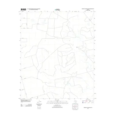
2012 Map of Indian Canyon NE
USGS Topo · Published 2012About this map
Bull Cr meanders through the eastern portion of this West Texas landscape, defining the drainage patterns of an area dominated by cattle ranching and rural transit. The Dennis Ranch serves as a primary geographic landmark, representative of the large-scale landholdings common in Garza County. A detailed network of section-line roads and unimproved routes, such as Co Rd 36 and Co Road BB, provides the framework for movement between isolated properties. The survey reflects a 21st-century snapshot of the plains before significant modern industrial changes, showing a landscape primarily carved by intermittent watercourses and the persistent lines of county infrastructure like Co Rd 208 and P-1380.
Find a feature on this map
18 named features on this map. Tap any name to fly to it.
Don’t see what you’re looking for? This feature index may not catch every label — zoom into the map to look around manually.
Map Details
Editions of this 2012 Indian Canyon NE Map
This is the sole edition of this map. No revisions or reprints were ever made.
Other maps of this area
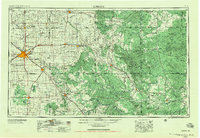
1954 · Lubbock
USGS Topo · 1:250,000
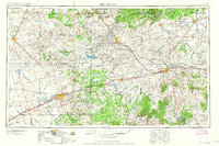
1954 · Big Spring
USGS Topo · 1:250,000
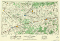
1958 · Big Spring
USGS Topo · 1:250,000
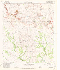
1969 · Beal Hollow
USGS Topo · 1:24,000
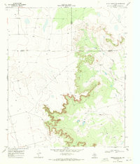
1969 · Indian Canyon NE
USGS Topo · 1:24,000
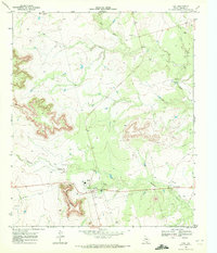
1969 · Gail
USGS Topo · 1:24,000
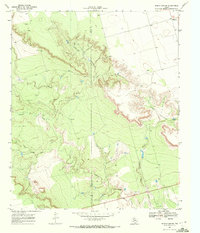
1969 · Indian Canyon
USGS Topo · 1:24,000
1969 · Grassland SE
USGS Topo · 1:24,000
1969 · Middle Creek
USGS Topo · 1:24,000
1969 · Holloway Canyon
USGS Topo · 1:24,000