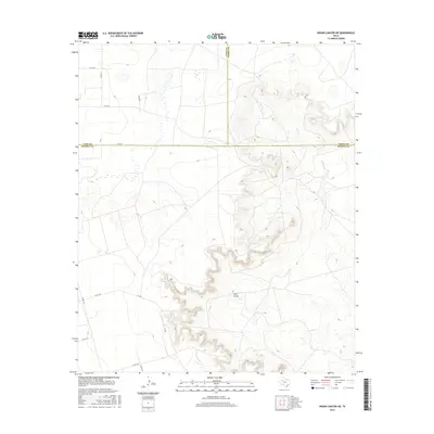
2016 Map of Indian Canyon NE
USGS Topo · Published 2016About this map
Salt Draw carves a significant path through this West Texas landscape where the borders of Lynn, Garza, and Borden counties converge. The terrain is defined by the sharp transition between the flat upland plains and the complex canyon systems of the Caprock Escarpment. Water drainage patterns are clearly visible through the winding course of Bull Cr, which cuts deep into the eastern portion of the quadrangle. The human imprint on this area is primarily represented by a sparse network of county roads, such as Co Rd 38 and Co Rd 138, alongside various private tracks like P-1280. This survey shows the region as it remains today: a largely uninhabited, highly topographic expanse utilized for ranching and limited transit across the rugged breaks of the Llano Estacado.
Find a feature on this map
18 named features on this map. Tap any name to fly to it.
Don’t see what you’re looking for? This feature index may not catch every label — zoom into the map to look around manually.
Map Details
Editions of this 2016 Indian Canyon NE Map
This is the sole edition of this map. No revisions or reprints were ever made.
Other maps of this area
1954 · Lubbock
USGS Topo · 1:250,000
1954 · Big Spring
USGS Topo · 1:250,000
1958 · Big Spring
USGS Topo · 1:250,000
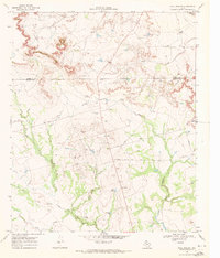
1969 · Beal Hollow
USGS Topo · 1:24,000
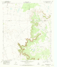
1969 · Indian Canyon NE
USGS Topo · 1:24,000
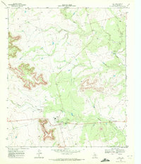
1969 · Gail
USGS Topo · 1:24,000
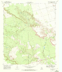
1969 · Indian Canyon
USGS Topo · 1:24,000
1969 · Grassland SE
USGS Topo · 1:24,000
1969 · Middle Creek
USGS Topo · 1:24,000
1969 · Holloway Canyon
USGS Topo · 1:24,000