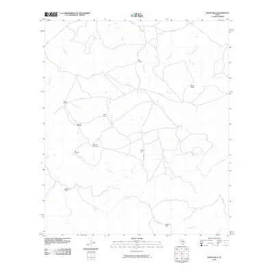
2010 Map of Indian Hills
USGS Topo · Published 2010About this map
Indian Hills sits at the heart of this Llano County landscape, where the ranching heritage of Central Texas is written in the distribution of named water sources and livestock infrastructure. The terrain is defined by prominent elevations such as Marley Peaks, Bunker Hill, and Barker Hill, while the Little Llano River and Calvert Creek drain the southern reaches. A network of rural county roads, including Co RD 447 and Co RD 449, connects various landmarks that speak to the practicalities of land management in this arid environment.
Find a feature on this map
23 named features on this map. Tap any name to fly to it.
Don’t see what you’re looking for? This feature index may not catch every label — zoom into the map to look around manually.
Map Details
Editions of this 2010 Indian Hills Map
This is the sole edition of this map. No revisions or reprints were ever made.
Other maps of this area

1885 · San Saba
USGS Topo · 1:125,000

1887 · Llano
USGS Topo · 1:125,000

1887 · Lampasas
USGS Topo · 1:125,000

1887 · Burnet
USGS Topo · 1:125,000

1893 · Burnet
USGS Topo · 1:125,000

1894 · Lampasas
USGS Topo · 1:125,000

1894 · San Saba
USGS Topo · 1:125,000

1894 · Llano
USGS Topo · 1:125,000

1903 · Burnet
USGS Topo · 1:125,000

1904 · Llano
USGS Topo · 1:125,000