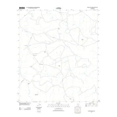
2012 Map of Indian Hills
USGS Topo · Published 2012About this map
Indian Hills and the surrounding rangeland of Llano County appear as a landscape defined by water sources and elevated terrain in this 2012 survey. The area is characterized by a network of drainage systems including the Little Llano River, Marley Cr, and Fall Cr, which carve through the territory. The distribution of windmills, such as High Windmill, Jones Windmill, and Javelina Windmill, suggests a land use dedicated primarily to ranching and livestock, where water security is paramount.
Find a feature on this map
23 named features on this map. Tap any name to fly to it.
Don’t see what you’re looking for? This feature index may not catch every label — zoom into the map to look around manually.
Map Details
Editions of this 2012 Indian Hills Map
This is the sole edition of this map. No revisions or reprints were ever made.
Other maps of this area
1885 · San Saba
USGS Topo · 1:125,000
1887 · Llano
USGS Topo · 1:125,000
1887 · Lampasas
USGS Topo · 1:125,000
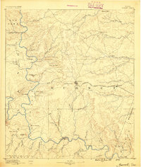
1887 · Burnet
USGS Topo · 1:125,000
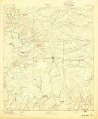
1893 · Burnet
USGS Topo · 1:125,000
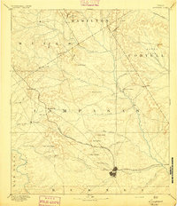
1894 · Lampasas
USGS Topo · 1:125,000
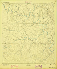
1894 · San Saba
USGS Topo · 1:125,000
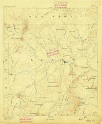
1894 · Llano
USGS Topo · 1:125,000
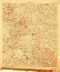
1903 · Burnet
USGS Topo · 1:125,000
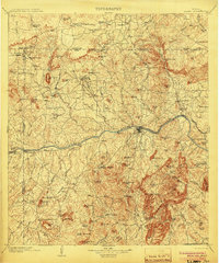
1904 · Llano
USGS Topo · 1:125,000