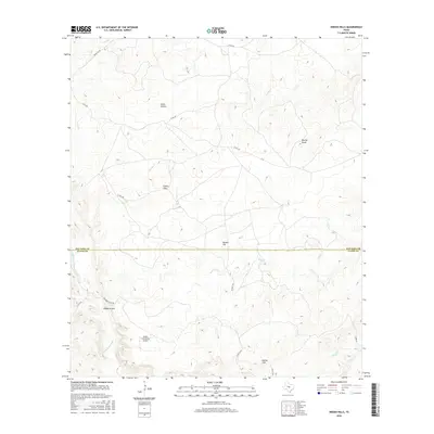
2016 Map of Indian Hills
USGS Topo · Published 2016About this map
The Little Llano River carves through the southern portion of this Hill Country landscape, marking a topographically diverse area where Llano County meets San Saba County. The settlement of Indian Hills sits at the center of a network of county roads, including Co RD 447 and Co RD 449, which navigate the various peaks and drainages of the region. Local landmarks like Marley Peaks, Bunker Hill, and Barker Hill define the horizon, while smaller features such as Davis Hollow and Wilberns Glen indicate the specific natural drainage patterns of the Llano River watershed. Aviation history is noted by the presence of the Indian Falls Ranch Airport, located near the intersection of Wilbern's Glen Rd and Co RD 216a. This survey captures the transition between ranching lands and the rugged natural terrain of the Texas river breaks.
Find a feature on this map
21 named features on this map. Tap any name to fly to it.
Don’t see what you’re looking for? This feature index may not catch every label — zoom into the map to look around manually.
Map Details
Editions of this 2016 Indian Hills Map
This is the sole edition of this map. No revisions or reprints were ever made.
Other maps of this area
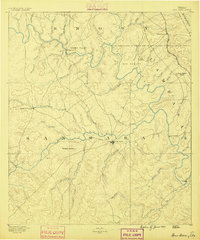
1885 · San Saba
USGS Topo · 1:125,000
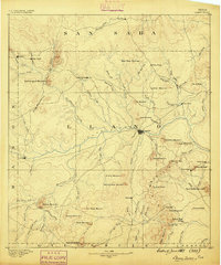
1887 · Llano
USGS Topo · 1:125,000
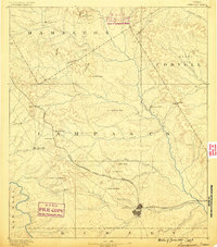
1887 · Lampasas
USGS Topo · 1:125,000
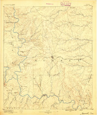
1887 · Burnet
USGS Topo · 1:125,000
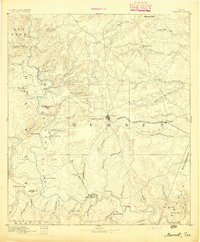
1893 · Burnet
USGS Topo · 1:125,000
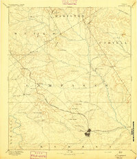
1894 · Lampasas
USGS Topo · 1:125,000
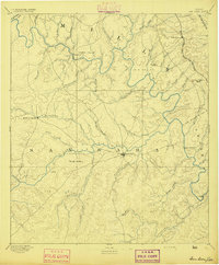
1894 · San Saba
USGS Topo · 1:125,000
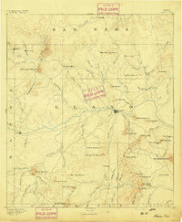
1894 · Llano
USGS Topo · 1:125,000
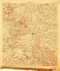
1903 · Burnet
USGS Topo · 1:125,000
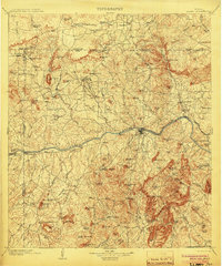
1904 · Llano
USGS Topo · 1:125,000