
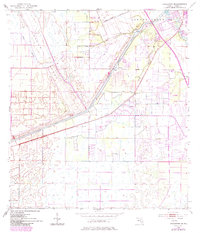
1953 Map of Indian Town SE
USGS Topo · Published 1955About this map
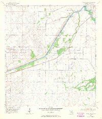
The Okeechobee Waterway and St Lucie Canal dominate this 1950s landscape, illustrating the mid-century hydrological engineering of South Florida. The settlement of Arundel sits along the canal banks near a designated Gaging Station, while the infrastructure of the St Lucie Lock and Dam controls the flow toward the South Fork St Lucie River. This survey captures the transition from natural wetlands to managed drainage, evidenced by numerous spoil banks and levees lining the artificial waterways.
Find a feature on this map
15 named features on this map. Tap any name to fly to it.
Don’t see what you’re looking for? This feature index may not catch every label — zoom into the map to look around manually.
Map Details
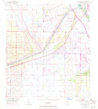
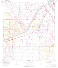
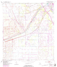
Editions of this 1953 Indian Town SE Map
6 editions found
Other maps of this area

1948 · Palm City
USGS Topo · 1:24,000

1948 · Rood
USGS Topo · 1:24,000

1948 · St. Lucie Inlet
USGS Topo · 1:24,000

1948 · Gomez
USGS Topo · 1:24,000

1949 · Rood
USGS Topo · 1:24,000

1949 · Gomez
USGS Topo · 1:24,000

1950 · St. Lucie Inlet
USGS Topo · 1:24,000

1950 · Palm City
USGS Topo · 1:24,000

1953 · Indian Town NW
USGS Topo · 1:24,000

1953 · Indian Town
USGS Topo · 1:24,000