
1937 Map of Ingalls
USGS Topo · Published 1937About this map
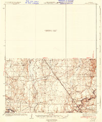
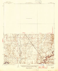
The Ouachita River defines the southern reach of this Bradley County landscape, where the Chicago Rock Island and Pacific railroad cuts a diagonal line through the townships of Washington, Eagle, and Palestine. This 1937 edition is notable for its northern expanse labeled as a Preliminary Edition Unsurveyed Area, leaving the detailed topography and settlement patterns concentrated in the lower half of the sheet. Small communities like Johnsville and Vick serve as focal points in a region dominated by timber and water, where named ridges like Hogpen Ridge and Sand Ridge rise above a complex network of wetlands.
Find a feature on this map
54 named features on this map. Tap any name to fly to it.
Don’t see what you’re looking for? This feature index may not catch every label — zoom into the map to look around manually.
Map Details
Editions of this 1937 Ingalls Map
3 editions found
Other maps of this area

1933 · Strong
USGS Topo · 1:62,500

1934 · Ingalls
USGS Topo · 1:48,000

1934 · Felsenthal
USGS Topo · 1:62,500

1934 · Moro Bay
USGS Topo · 1:62,500

1937 · Strong
USGS Topo · 1:62,500

1937 · Felsenthal
USGS Topo · 1:62,500

1938 · Felsenthal
USGS Topo · 1:62,500

1938 · Moro Bay
USGS Topo · 1:62,500

1939 · Felsenthal
USGS Topo · 1:62,500

1939 · Moro Bay
USGS Topo · 1:62,500