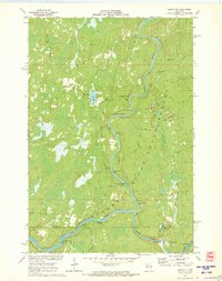
1971 Map of Ingram NE
USGS Topo · Published 1973About this map
The Flambeau River winds through this heavily forested section of northern Wisconsin, marked by a dense sequence of whitewater and river navigation features. This 1971 survey highlights the river’s character through named obstacles like 1st Porcupine Rapids, 1st Wannigan Rapids, and the more substantial Cedar Rapids near the southern boundary. Within the Flambeau River State Forest, several Canoe Campsites indicate the area's use for recreation and river travel. The industrial history of the woods is visible in the network of legacy transit lines, including the Old Railroad Grade and Thornapple Grade, which cut through the terrain near Hegmeister Lake. These grades, along with the Snowmobile Trail and primitive routes like Hackett Trail, trace the evolution of the landscape from timber extraction to a managed natural resource.
Find a feature on this map
33 named features on this map. Tap any name to fly to it.
Don’t see what you’re looking for? This feature index may not catch every label — zoom into the map to look around manually.
Map Details
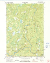
Editions of this 1971 Ingram NE Map
2 editions found
Other maps of this area

1941 · Kennan
USGS Topo · 1:48,000

1941 · Kennedy
USGS Topo · 1:48,000

1944 · Draper
USGS Topo · 1:48,000

1945 · Kennedy
USGS Topo · 1:48,000

1945 · Kennan
USGS Topo · 1:48,000

1945 · Ingram
USGS Topo · 1:48,000

1947 · Ingram
USGS Topo · 1:48,000

1947 · Draper
USGS Topo · 1:48,000

1953 · Rice Lake
USGS Topo · 1:250,000

1959 · Rice Lake
USGS Topo · 1:250,000