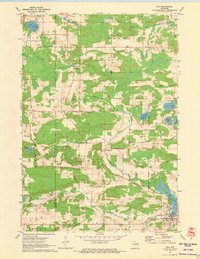
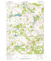
1971 Map of Iola
USGS Topo · Published 1973About this map
Iola Lake and the surrounding township appear here as a landscape shaped by water and early transportation networks in the early 1970s. The village of Iola sits at the convergence of the South Branch Little Wolf River and Trout Creek, where the local terrain is marked by an Old Railroad Grade running through the valley. This survey captures a mix of agricultural land and wooded wetlands, with smaller communities like Northland, Peru, and Griffin serving as rural anchor points across the county line between Portage and Waupaca counties.
Find a feature on this map
41 named features on this map. Tap any name to fly to it.
Don’t see what you’re looking for? This feature index may not catch every label — zoom into the map to look around manually.
Map Details
Editions of this 1971 Iola Map
2 editions found
Other maps of this area

1955 · Tigerton
USGS Topo · 1:48,000

1955 · Rosholt
USGS Topo · 1:48,000

1955 · Green Bay
USGS Topo · 1:250,000

1957 · Amherst
USGS Topo · 1:48,000

1957 · Waupaca
USGS Topo · 1:48,000

1969 · Rosholt
USGS Topo · 1:24,000
1969 · Ogdensburg
USGS Topo · 1:24,000

1969 · New Hope
USGS Topo · 1:24,000
1969 · Scandinavia
USGS Topo · 1:24,000
1969 · Amherst
USGS Topo · 1:24,000