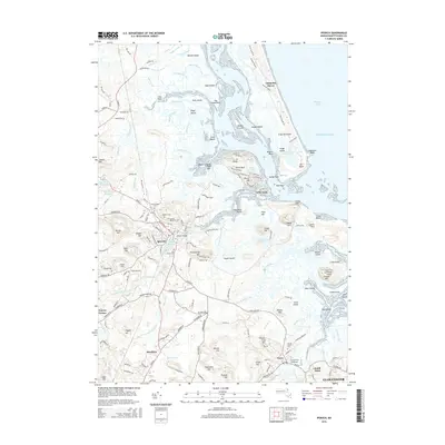
2015 Map of Ipswich
USGS Topo · Published 2015About this map
Ipswich serves as a central hub in this coastal landscape, where the Ipswich River winds toward a complex network of salt marshes and tidal creeks. The map documents several burial grounds critical for genealogical research, including Highland Cem, Old South Cem, and the Choate Cem on Choate Hill. To the east, the shoreline is defined by Crane Beach and the prominent Castle Hill, while the interior shows the transition toward Hamilton and Essex. This survey illustrates the intricate balance between maritime geography and inland settlement, featuring several minor water bodies like Fourmile Pond and the Bull Brook Reservoir. The presence of the Snow Airport and various named points like Nancys Corner provide a detailed view of the local infrastructure and place-names in the mid-2010s.
Find a feature on this map
192 named features on this map. Tap any name to fly to it.
Don’t see what you’re looking for? This feature index may not catch every label — zoom into the map to look around manually.
Map Details
Editions of this 2015 Ipswich Map
This is the sole edition of this map. No revisions or reprints were ever made.
Other maps of this area

1886 · Gloucester
USGS Topo · 1:62,500

1888 · Newburyport
USGS Topo · 1:62,500

1888 · Gloucester
USGS Topo · 1:62,500

1888 · Salem
USGS Topo · 1:62,500

1890 · Newburyport
USGS Topo · 1:62,500

1893 · Salem
USGS Topo · 1:62,500

1893 · Gloucester
USGS Topo · 1:62,500

1894 · Newburyport
USGS Topo · 1:62,500

1917 · Salem
USGS Topo · 1:62,500

1918 · Gloucester
USGS Topo · 1:62,500