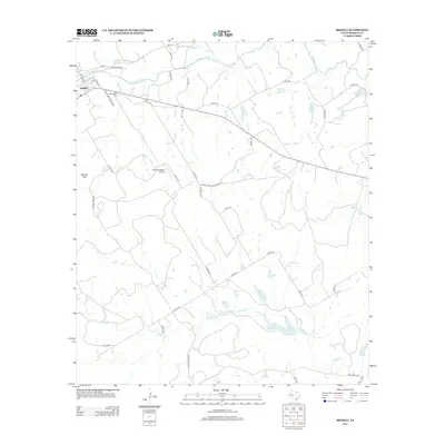
2012 Map of Iredell
USGS Topo · Published 2012About this map
The N Bosque River flows through this ranching and agricultural landscape in Bosque County, anchoring the settlement of Iredell. This modern 2012 survey illustrates the contemporary road network, including Court Road Prairie 2143 and Old Walnut Rd, which connect the town to outlying grazing lands. The topography is defined by significant elevations like Johnson Peak and a series of water management features such as Reed Lake 1, Reed Lake 2, and Farrell Lake Number 1. Genealogists and local researchers will find the New Iredell Cem positioned just outside the town center, while landmarks like the Flying 5B Ranch Airport reflect the large-scale landholdings characteristic of this region. The map captures the persistence of small Texas communities where the landscape remains dominated by seasonal creeks like Spring Cr and Walker Br.
Find a feature on this map
43 named features on this map. Tap any name to fly to it.
Don’t see what you’re looking for? This feature index may not catch every label — zoom into the map to look around manually.
Map Details
Editions of this 2012 Iredell Map
This is the sole edition of this map. No revisions or reprints were ever made.
Other maps of this area
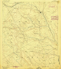
1888 · Meridian
USGS Topo · 1:125,000
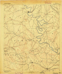
1889 · Granbury
USGS Topo · 1:125,000
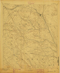
1894 · Meridian
USGS Topo · 1:125,000
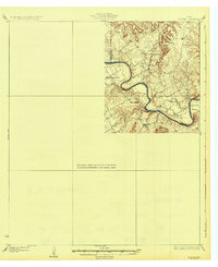
1931 · Morgan
USGS Topo · 1:62,500

1954 · Dallas
USGS Topo · 1:250,000

1954 · Waco
USGS Topo · 1:250,000

1955 · Waco
USGS Topo · 1:250,000
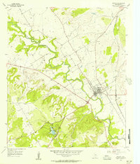
1955 · Meridian
USGS Topo · 1:24,000
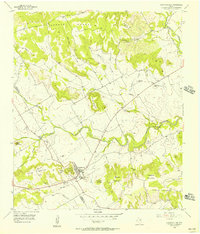
1956 · Cranfills Gap
USGS Topo · 1:24,000
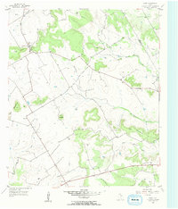
1956 · Fairy
USGS Topo · 1:24,000