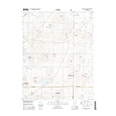
2015 Map of Iron Mountain Lake
USGS Topo · Published 2015About this map
The Saint Francis River winds through the northern portion of this quadrangle, defining the terrain of Saint Francois County. In the eastern hills, the small settlement of Mineral City sits amidst a landscape of significant elevation changes and Missouri woodland. This 2015 edition provides a contemporary perspective on the rural character of the region, showing the enduring boundaries and road networks that have supported local agriculture and small-town life for generations. The topography is characterized by the complex drainage patterns feeding into the river, reflecting a quiet corner of the Ozark Plateau where the geography remains largely dominated by its natural features and traditional land use patterns.
Find a feature on this map
2 named features on this map. Tap any name to fly to it.
Don’t see what you’re looking for? This feature index may not catch every label — zoom into the map to look around manually.
Map Details
Editions of this 2015 Iron Mountain Lake Map
This is the sole edition of this map. No revisions or reprints were ever made.
Other maps of this area

1904 · Farmington
USGS Topo · 1:62,500

1905 · Bonneterre
USGS Topo · 1:62,500

1906 · Farmington
USGS Topo · 1:62,500

1937 · Ironton
USGS Topo · 1:48,000

1939 · Fredericktown
USGS Topo · 1:48,000

1945 · Ironton
USGS Topo · 1:62,500

1946 · Ironton
USGS Topo · 1:62,500

1947 · Fredericktown
USGS Topo · 1:62,500

1949 · Rolla
USGS Topo · 1:250,000

1950 · Fredericktown
USGS Topo · 1:62,500