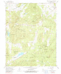
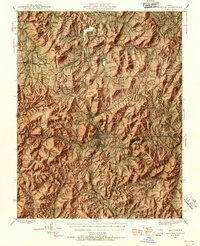
1968 Map of Iron Mountain Lake
USGS Topo · Published 1983About this map
The St Francis River flows through the northern reaches of this Missouri landscape, which is defined by the high elevations of the Clark National Forest. In the late 1960s, the region was a mix of settled valleys and timbered peaks like Stono Mountain and Arcadia Mountain. This survey documents the intersection of several county lines where Iron, St. Francois, and Madison counties meet. For genealogists and local historians, the map provides precise locations for several community centers, including Doe Run, Mineral City, and Iron Mountain Lake. Notable landmarks include an aqueduct and a lookout tower, while the Pacific railroad corridor reflects the area's industrial transit routes. Numerous family and community burial sites, such as German Cem and Grieder Cem, are located in the hills and small clearings throughout the terrain.
Find a feature on this map
40 named features on this map. Tap any name to fly to it.
Don’t see what you’re looking for? This feature index may not catch every label — zoom into the map to look around manually.
Map Details
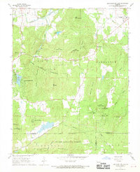
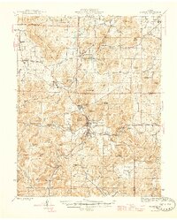
Editions of this 1968 Iron Mountain Lake Map
2 editions found
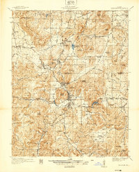
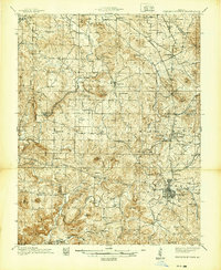
Other maps of this area

1904 · Farmington
USGS Topo · 1:62,500

1905 · Bonneterre
USGS Topo · 1:62,500

1906 · Farmington
USGS Topo · 1:62,500
1937 · Ironton
USGS Topo · 1:48,000
1939 · Fredericktown
USGS Topo · 1:48,000
1945 · Ironton
USGS Topo · 1:62,500
1946 · Ironton
USGS Topo · 1:62,500
1947 · Fredericktown
USGS Topo · 1:62,500

1949 · Rolla
USGS Topo · 1:250,000
1950 · Fredericktown
USGS Topo · 1:62,500