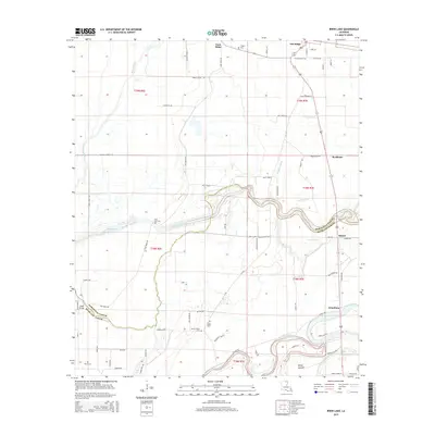
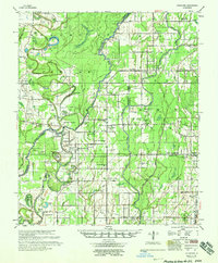
2015 Map of Irwin Lake
USGS Topo · Published 2015About this map
Oak Ridge sits in the northern reaches of this Morehouse Parish landscape, where the agricultural grid meets the winding courses of Bayou Lafourche and the Boeuf River. The terrain is defined by low-lying wetlands and ridges like Gum Ridge, reflecting a long history of alluvial movement and rural settlement along the parish line. Genealogists will find a cluster of burial sites documenting the area's local history, including New Salem Cem, James Chapel Cem, and Irwin Lake Cem. The map illustrates the transition from organized town plats to the scattered communities of Bordenax, Bardel, and Jonesburg, connected by an intricate network of local routes such as Mott Route and Felix Moore Rd. A crossing at Smith Bridge serves as a key landmark where the Morehouse Parish and Richland Parish borders meet the water.
Find a feature on this map
70 named features on this map. Tap any name to fly to it.
Don’t see what you’re looking for? This feature index may not catch every label — zoom into the map to look around manually.
Map Details
Editions of this 2015 Irwin Lake Map
This is the sole edition of this map. No revisions or reprints were ever made.
Other maps of this area
1935 · Collinston
USGS Topo · 1:62,500
1935 · Alto
USGS Topo · 1:62,500
1935 · Baskinton
USGS Topo · 1:62,500
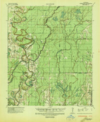
1935 · Hurricane
USGS Topo · 1:62,500

1955 · Jackson
USGS Topo · 1:250,000
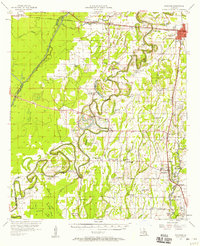
1957 · Mangham
USGS Topo · 1:62,500
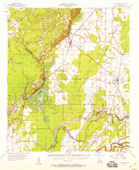
1957 · Collinston
USGS Topo · 1:62,500
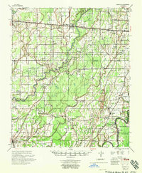
1958 · Baskinton
USGS Topo · 1:62,500
1958 · Hurricane
USGS Topo · 1:62,500

1961 · Jackson
USGS Topo · 1:250,000